
| Distance / Altitude | Location | Report Date / Time | Live Weather | Wind | Gusts | Temp. | Visibility | Cloud |
|---|---|---|---|---|---|---|---|---|
| 31 km SE / 241 m | Normanton Airport (Australia) | 2024-05-02 16:00 local (2024/05/02 06:00 GMT) | Clear skies | light winds from the ESE (13 km/h at 110) | 33°C | - | - no observation - | |
| 31 km SE / 19 m | Normanton Airport (Australia) | 2024-05-02 15:00 local (2024/05/02 05:00 GMT) | no report | light winds from the ESE (13 km/h at 110) | 32°C | - | - no observation - | |
| 138 km W / 4 m | Sweers Island (Australia) | 2024-05-02 15:30 local (2024/05/02 05:30 GMT) | no report | light winds from the ESE (13 km/h at 110) | 28°C | 40 | - | |
| 141 km SW / 6 m | Burketown Airport (Australia) | 2024-05-02 15:30 local (2024/05/02 05:30 GMT) | Clear skies | light winds from the ESE (17 km/h at 110) | 33°C | - | - few - | |
| 200 km W / 12 m | Mornington Island Airport (Australia) | 2024-05-02 16:00 local (2024/05/02 06:00 GMT) | Clear skies | light winds from the SE (17 km/h at 140) | 28°C | - | - no observation - |
| Contours: | Roads & Rivers: | Select a
tide station / surf break / city |
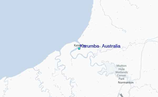
Use this relief map to navigate to tide stations, surf breaks and cities that are in the area of Karumba, Australia.
Other Nearby Locations' tide tables and tide charts to Karumba, Australia:
click location name for more details
 Surf breaks close to Karumba, Australia:
|
||
|---|---|---|
| Closest surf break | Eimeo Point | 597 mi |
| Second closest surf break | Dolphin Heads | 597 mi |
| Third closest surf break | Lamberts Beach | 601 mi |
| Fourth closest surf break | North Wall Mackay Harbour Beach | 601 mi |
| Fifth closest surf break | South Wall Mackay Harbour | 602 mi |

 Nearest
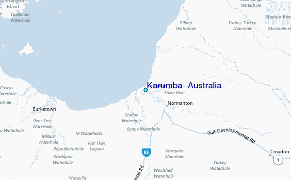