
| Distance / Altitude | Location | Report Date / Time | Live Weather | Wind | Gusts | Temp. | Visibility | Cloud |
|---|---|---|---|---|---|---|---|---|
| 90 km S / 15 m | ASCATB121E5N (Marine) | 2024-04-29 20:53 local (2024/04/29 12:53 GMT) | light winds from the W (17 km/h at 280) | — | - km | |||
| 114 km ESE / 15 m | hy2c122E6N (Marine) | 2024-04-29 20:18 local (2024/04/29 12:18 GMT) | light winds from the WSW (16 km/h at 245) | — | - km | |||
| 121 km S / 15 m | hy2c121E5N (Marine) | 2024-04-29 20:19 local (2024/04/29 12:19 GMT) | light winds from the W (13 km/h at 262) | — | - km | |||
| 143 km NE / 417 m | Zamboanga Airport (Philippines) | 2024-04-29 21:00 local (2024/04/29 13:00 GMT) | no report | light winds from the WNW (7 km/h at 290) | 29°C | 10 | few broken - | |
| 145 km NW / 15 m | hy2c121E7N (Marine) | 2024-04-29 20:18 local (2024/04/29 12:18 GMT) | light winds from the N (14 km/h at 355) | — | - km |
| Contours: | Roads & Rivers: | Select a
tide station / surf break / city |
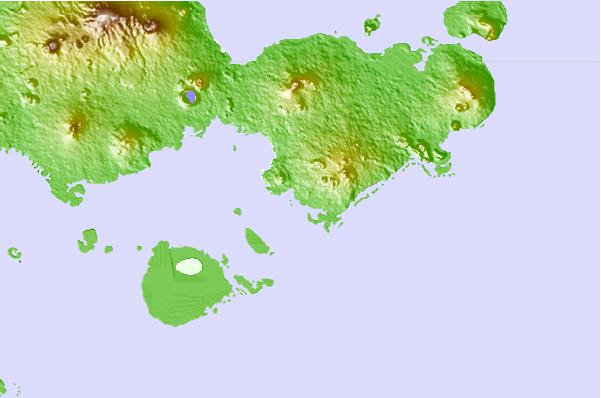
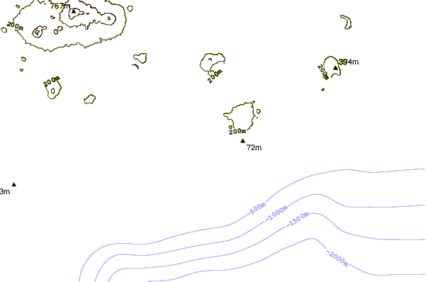

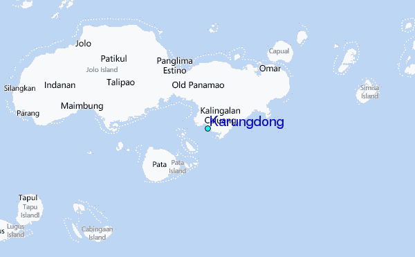
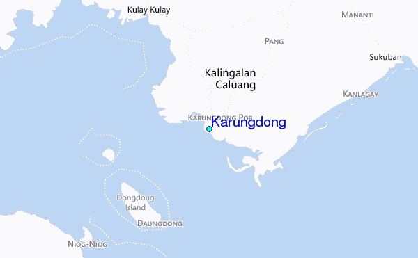
Use this relief map to navigate to tide stations, surf breaks and cities that are in the area of Karungdong.
Other Nearby Locations' tide tables and tide charts to Karungdong:
click location name for more details
 Surf breaks close to Karungdong:
|
||
|---|---|---|
| Closest surf break | Kudat (Pantai Kosuhui) | 321 mi |
| Second closest surf break | Kota Belud | 334 mi |
| Third closest surf break | Shabandar | 351 mi |
| Fourth closest surf break | Nexus | 355 mi |
| Fifth closest surf break | Nexus West End | 356 mi |

 Nearest
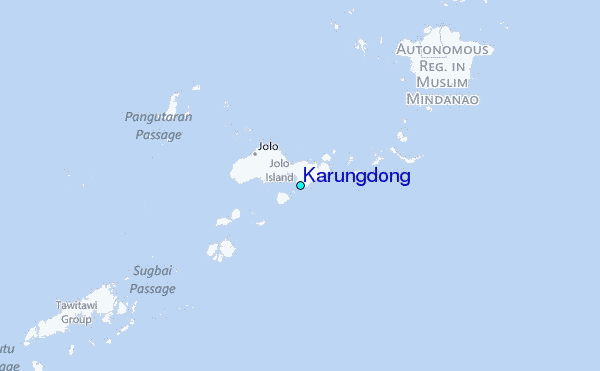