
| Distance / Altitude | Location | Report Date / Time | Live Weather | Wind | Gusts | Temp. | Visibility | Cloud |
|---|---|---|---|---|---|---|---|---|
| 70 km NW / 52 m | Dabolim Airport - Goa (India) | 2024-04-30 13:00 local (2024/04/30 07:30 GMT) | - | light winds from the SW (19 km/h at 230) | 32°C | 6.0 | few | |
| 74 km NW / 3 m | SHIP2535 (Marine) | 2024-04-30 12:30 local (2024/04/30 07:00 GMT) | moderate winds from the SE (22 km/h at 140) | — | - | |||
| 123 km ENE / 662 m | Hubli Airport (India) | 2024-04-30 13:00 local (2024/04/30 07:30 GMT) | - | light winds from the NW (9 km/h at 310) | 39°C | 8.0 | few | |
| 131 km NNE / 758 m | Belgaum Airport (India) | 2024-04-30 13:00 local (2024/04/30 07:30 GMT) | Dry and partly cloudy | light winds from the NNE (7 km/h at 30) | 38°C | 8.0 | no significant cloud | |
| 210 km N / 570 m | Kolhapur (India) | 2024-04-30 13:00 local (2024/04/30 07:30 GMT) | Dry and partly cloudy | light winds from the NE (9 km/h at 40) | 38°C | 8.0 | no significant cloud - - |
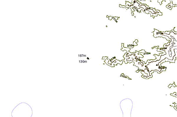
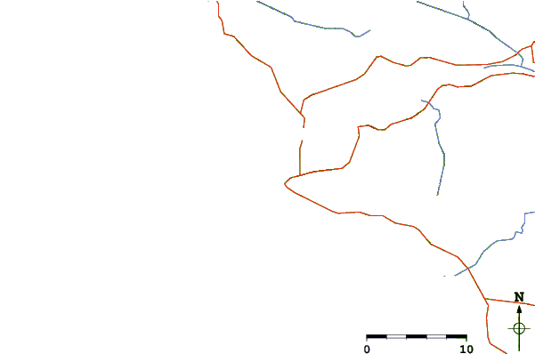
| Contours: | Roads & Rivers: | Select a
tide station / surf break / city |
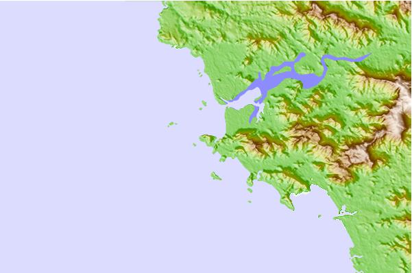
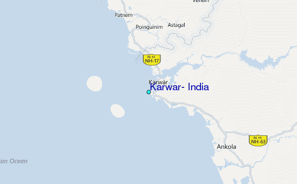
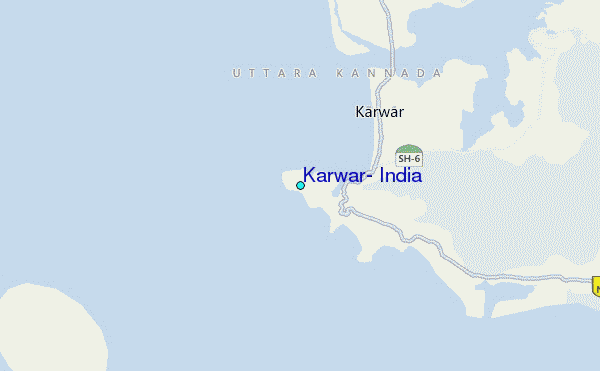
Use this relief map to navigate to tide stations, surf breaks and cities that are in the area of Karwar, India.
Other Nearby Locations' tide tables and tide charts to Karwar, India:
click location name for more details
 Surf breaks close to Karwar, India:
|
||
|---|---|---|
| Closest surf break | Gokarna Beach | 22 mi |
| Second closest surf break | Kudle -Beach (Gokarna) | 24 mi |
| Third closest surf break | Om Beach (Gokarna) | 24 mi |
| Fourth closest surf break | Benaulim Beach | 34 mi |
| Fifth closest surf break | Betalbatim Beach Taj | 37 mi |

 Nearest
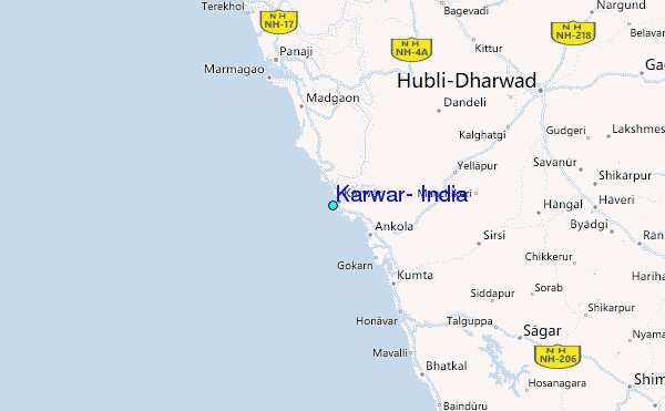