
| Distance / Altitude | Location | Report Date / Time | Live Weather | Wind | Gusts | Temp. | Visibility | Cloud |
|---|---|---|---|---|---|---|---|---|
| 260 km SE / 13 m | Tokua W.o. (Papua New Guinea) | 2024-04-29 13:00 local (2024/04/29 03:00 GMT) | no report | light winds from the SE (19 km/h at 130) | 32°C | 20 | - | |
| 577 km SSW / 69 m | Mount Hagen Airport (Papua New Guinea) | 2024-04-29 13:00 local (2024/04/29 03:00 GMT) | Haze - | light winds from the N (9 km/h at 350) | 26°C | 10.0 | scattered | |
| 632 km SSW / 70 m | Nadzab W.o. (Papua New Guinea) | 2024-04-29 13:00 local (2024/04/29 03:00 GMT) | drizzle | light winds from the ESE (19 km/h at 110) | 28°C | 30 | - - - | |
| 714 km SW / 1587 m | Goroka Highlands Airport (Papua-New Guinea) | 2024-04-29 13:00 local (2024/04/29 03:00 GMT) | State of sky unchanged | light winds from the (6 km/h at 990) | 25°C | 50 km | - mostly cloudy - | |
| 768 km SE / 3 m | Taro Island (Solomon Islands) | 2024-04-29 13:00 local (2024/04/29 03:00 GMT) | Distant precipitation but not falling at station | light winds from the SE (9 km/h at 140) | 30°C | 20 km | - mostly cloudy - |
| Contours: | Roads & Rivers: | Select a
tide station / surf break / city |
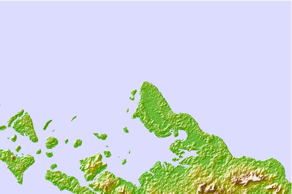
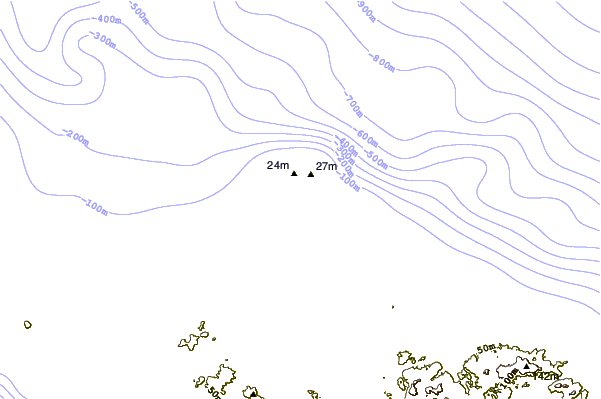
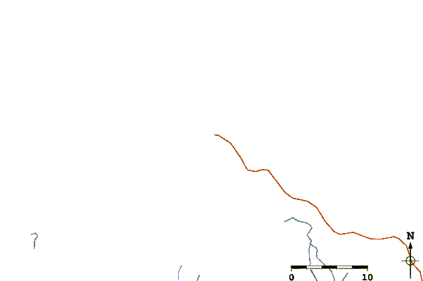
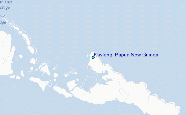
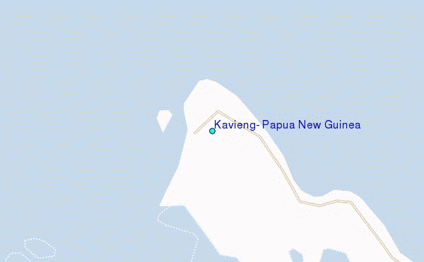
Use this relief map to navigate to tide stations, surf breaks and cities that are in the area of Kavieng, Papua New Guinea.
Other Nearby Locations' tide tables and tide charts to Kavieng, Papua New Guinea:
click location name for more details
 Surf breaks close to Kavieng, Papua New Guinea:
|
||
|---|---|---|
| Closest surf break | Piccinniny | 1 mi |
| Second closest surf break | Nusa | 1 mi |
| Third closest surf break | Kavieng Rights | 2 mi |
| Fourth closest surf break | Long Long | 2 mi |
| Fifth closest surf break | Nago | 2 mi |

 Nearest
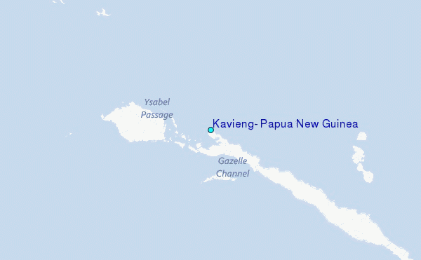