
| Distance / Altitude | Location | Report Date / Time | Live Weather | Wind | Gusts | Temp. | Visibility | Cloud |
|---|---|---|---|---|---|---|---|---|
| 29 km SSE / 89 m | Blaise Diagne International Airport (Senegal) | 2024-05-03 22:30 local (2024/05/03 22:30 GMT) | - | fresh winds from the N (35 km/h at 360) | — | 0.0 | - clear - | |
| 47 km SW / 219 m | Dakar/Yoff-Léopold Sédar Senghor International Airport (Senegal) | 2024-05-03 22:00 local (2024/05/03 22:00 GMT) | - | light winds from the NW (19 km/h at 320) | — | 0.0 | - clear - | |
| 102 km ESE / 9 m | Diourbel Airport (Senegal) | 2024-05-03 22:00 local (2024/05/03 22:00 GMT) | - | light winds from the N (11 km/h at 360) | — | 0.0 | - clear - | |
| 102 km ESE / 9 m | Diourbel (Senegal) | 2024-05-03 22:00 local (2024/05/03 22:00 GMT) | - | light winds from the N (11 km/h at 360) | — | 0.0 | ||
| 144 km SE / 115 m | Kaolack Airport (Senegal) | 2024-05-03 21:00 local (2024/05/03 21:00 GMT) | - | moderate winds from the N (22 km/h at 360) | 38°C | 30 km | clear |
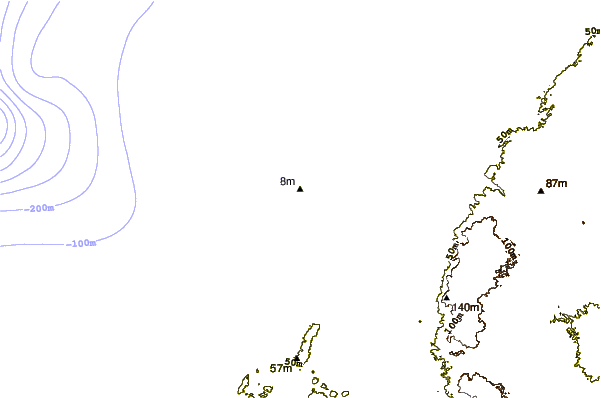
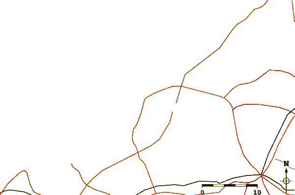
| Contours: | Roads & Rivers: | Select a
tide station / surf break / city |
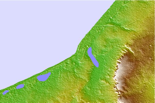
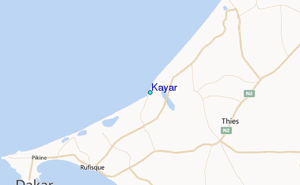
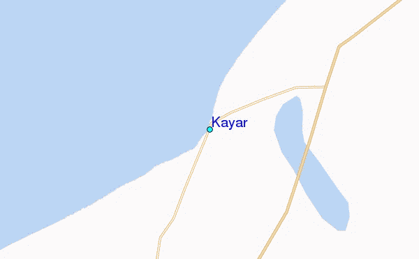
Use this relief map to navigate to tide stations, surf breaks and cities that are in the area of Kayar.
Other Nearby Locations' tide tables and tide charts to Kayar:
click location name for more details
 Surf breaks close to Kayar:
|
||
|---|---|---|
| Closest surf break | Malika Sur Mer | 22 mi |
| Second closest surf break | Piere de Lisse | 25 mi |
| Third closest surf break | Yoff Beach | 25 mi |
| Fourth closest surf break | Yoff Island | 26 mi |
| Fifth closest surf break | Le Virage | 27 mi |

 Nearest
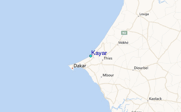