
| Distance / Altitude | Location | Report Date / Time | Live Weather | Wind | Gusts | Temp. | Visibility | Cloud |
|---|---|---|---|---|---|---|---|---|
| 26 km W / 215 m | Hydaburg Airport (Alaska) | 2024-04-27 19:18 local (2024/04/28 03:18 GMT) | Light rain | light winds from the ESE (19 km/h at 110) | 8°C | 5 | broken overcast | |
| 56 km NE / 3 m | BUOY-GIXA2 (Marine) | 2024-04-27 20:02 local (2024/04/28 04:02 GMT) | fresh winds from the ESE (32 km/h at 120) | 8°C | - | |||
| 57 km E / 1 m | Annette wx (United States) | 2024-04-27 19:19 local (2024/04/28 03:19 GMT) | dry | moderate winds from the SE (27 km/h at 130) | 8°C | - | - - 0 | |
| 58 km ENE / 211 m | Ketchikan Airport (Alaska) | 2024-04-27 18:53 local (2024/04/28 02:53 GMT) | Dry and cloudy | light winds from the S (13 km/h at 170) | 9°C | 16 | few scattered overcast | |
| 58 km E / 216 m | Metlakatla Airport (Alaska) | 2024-04-27 18:56 local (2024/04/28 02:56 GMT) | Light rain | light winds from the SE.(Wind varies from 100 to 160 degs) (19 km/h at 130) | 9°C | 16 | broken overcast |
| Contours: | Roads & Rivers: | Select a
tide station / surf break / city |
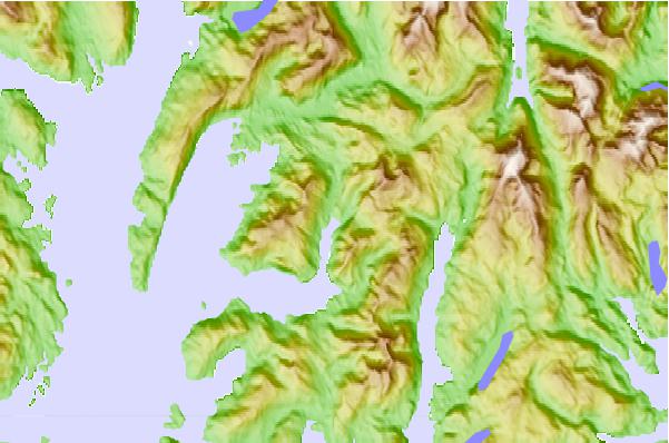
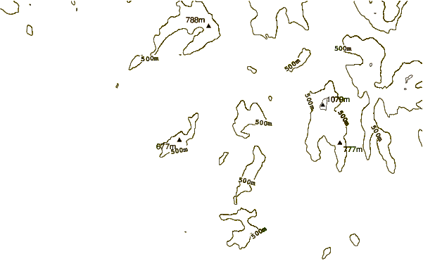
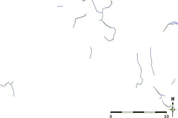
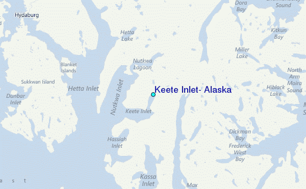
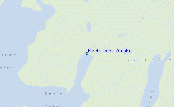
Use this relief map to navigate to tide stations, surf breaks and cities that are in the area of Keete Inlet, Alaska.
Other Nearby Locations' tide tables and tide charts to Keete Inlet, Alaska:
click location name for more details
 Surf breaks close to Keete Inlet, Alaska:
|
||
|---|---|---|
| Closest surf break | Lepus Beach (Haida-Gwaii) | 67 mi |
| Second closest surf break | Tow Hill Beach | 75 mi |
| Third closest surf break | Cannon Beach | 408 mi |
| Fourth closest surf break | Graveyards | 412 mi |
| Fifth closest surf break | Ocean Cape | 413 mi |

 Nearest
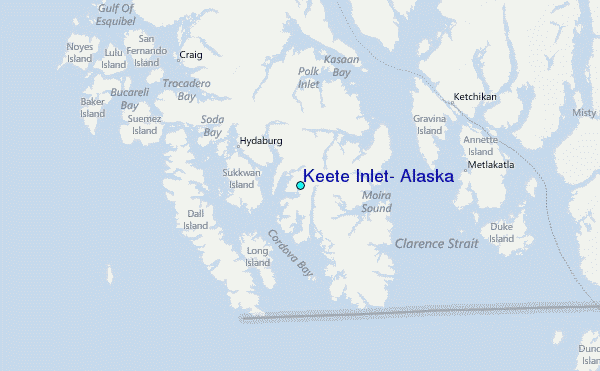