
| Distance / Altitude | Location | Report Date / Time | Live Weather | Wind | Gusts | Temp. | Visibility | Cloud |
|---|---|---|---|---|---|---|---|---|
| 40 km NE / 213 m | Lome/Tokoin Airport (Togo) | 2024-05-04 13:00 local (2024/05/04 13:00 GMT) | - | light winds from the SSW.(Wind varies from 140 to 250 degs) (15 km/h at 200) | 33°C | 10.0 | few | |
| 95 km WNW / 158 m | Ho (Ghana) | 2024-05-04 12:00 local (2024/05/04 12:00 GMT) | - | wind obs. (6 kph from 230 degs) was rejected (- km/h at -) | 34°C | 34 km | scattered | |
| 111 km WSW / 90 m | Somanya USED (Ghana) | 2024-05-04 14:00 local (2024/05/04 14:00 GMT) | - | light winds from the SE (11 km/h at 126) | 36°C | - | - - 0 | |
| 133 km SW / 197 m | Accra/Kotoka International Airport (Ghana) | 2024-05-04 13:00 local (2024/05/04 13:00 GMT) | - | light winds from the S.(Wind varies from 140 to 200 degs) (15 km/h at 180) | — | 0.0 | ||
| 164 km WSW / 74 m | Adeiso-Ndoda (Ghana) | 2024-05-04 14:00 local (2024/05/04 14:00 GMT) | - | light winds from the SE (19 km/h at 137) | 34°C | - | - - 0 |
| Contours: | Roads & Rivers: | Select a
tide station / surf break / city |
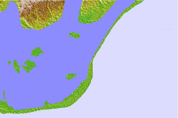
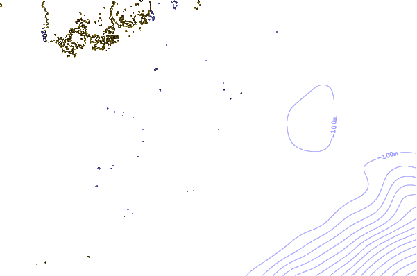
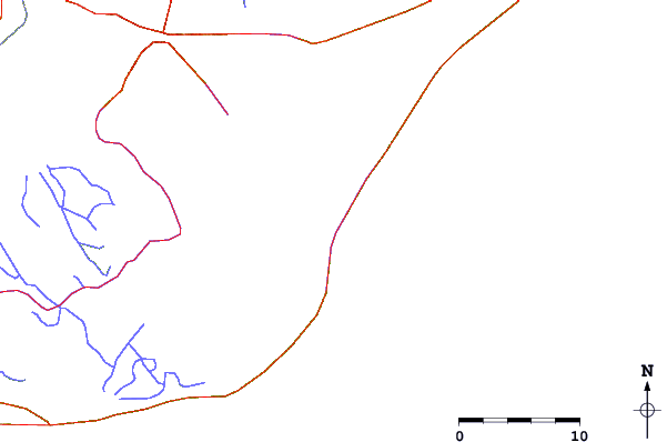
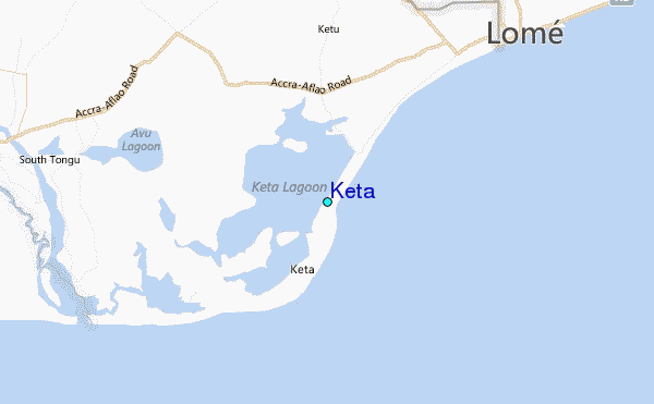
Use this relief map to navigate to tide stations, surf breaks and cities that are in the area of Keta.
Other Nearby Locations' tide tables and tide charts to Keta:
click location name for more details
 Surf breaks close to Keta:
|
||
|---|---|---|
| Closest surf break | Lome Rivage | 25 mi |
| Second closest surf break | Anecho Beach | 47 mi |
| Third closest surf break | New Ningo Reef | 57 mi |
| Fourth closest surf break | Prampram (Greater Accra) | 61 mi |
| Fifth closest surf break | Labadi Beach | 83 mi |

 Nearest
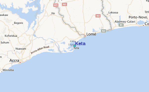