
| Distance / Altitude | Location | Report Date / Time | Live Weather | Wind | Gusts | Temp. | Visibility | Cloud |
|---|---|---|---|---|---|---|---|---|
| 1 km NW / 3 m | BUOY-KYWF1 (Marine) | 2024-04-27 19:18 local (2024/04/27 23:18 GMT) | light winds from the E (17 km/h at 100) | 26°C | - | |||
| 6 km E / 218 m | Key West Airport (Florida) | 2024-04-27 18:53 local (2024/04/27 22:53 GMT) | Dry and partly cloudy | fresh winds from the E (31 km/h at 100) | 27°C | 16 | scattered broken | |
| 13 km SSW / 3 m | BUOY-SANF1 (Marine) | 2024-04-27 19:30 local (2024/04/27 23:30 GMT) | strong winds from the ESE (46 km/h at 110) | 25°C | - | |||
| 14 km E / 219 m | Key West Naval Air Station Airport (Florida) | 2024-04-27 18:53 local (2024/04/27 22:53 GMT) | Dry and partly cloudy | fresh winds from the E (37 km/h at 90) | 27°C | 16 | broken | |
| 23 km SSW / 3 m | BUOY-42095 (Marine) | 2024-04-27 19:30 local (2024/04/27 23:30 GMT) | - (- km/h at -) | — | - |
| Contours: | Roads & Rivers: | Select a
tide station / surf break / city |
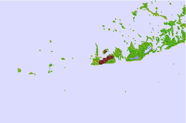

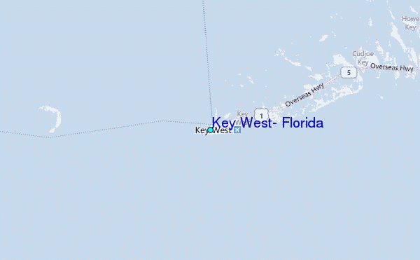
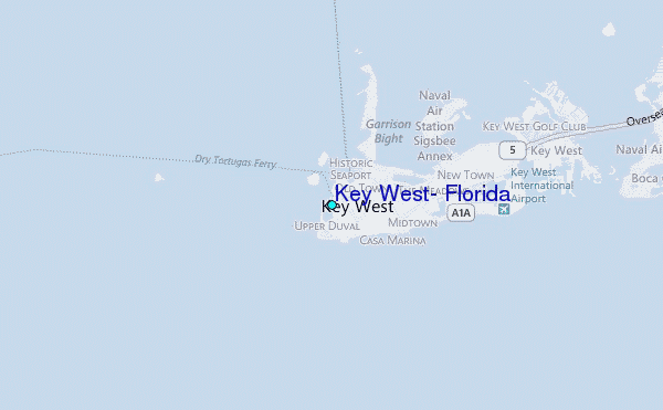
Use this relief map to navigate to tide stations, surf breaks and cities that are in the area of Key West, Florida.
Other Nearby Locations' tide tables and tide charts to Key West, Florida:
click location name for more details
 Surf breaks close to Key West, Florida:
|
||
|---|---|---|
| Closest surf break | Naples Pier | 105 mi |
| Second closest surf break | Wiggins Pass | 120 mi |
| Third closest surf break | South Beach (Miami) | 134 mi |
| Fourth closest surf break | Fifth Street (Miami) | 135 mi |
| Fifth closest surf break | 21st Street (Miami) | 136 mi |

 Nearest
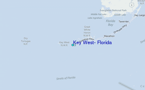