
| Distance / Altitude | Location | Report Date / Time | Live Weather | Wind | Gusts | Temp. | Visibility | Cloud |
|---|---|---|---|---|---|---|---|---|
| 64 km NNE / 213 m | Bandar Mahshahr Airport (Iran, Islamic Rep) | 2024-04-28 17:30 local (2024/04/28 13:00 GMT) | Dry and partly cloudy | moderate winds from the SSW (22 km/h at 210) | 34°C | 10.0 | scattered | |
| 83 km W / 200 m | Abadan International Airport (Iran, Islamic Rep) | 2024-04-28 17:30 local (2024/04/28 13:00 GMT) | Dry and partly cloudy | light winds from the SSE (19 km/h at 150) | 35°C | 10.0 | scattered broken | |
| 106 km NE / 160 m | Agha Jari Airport (Iran, Islamic Rep) | 2024-04-28 17:30 local (2024/04/28 13:00 GMT) | Dry and partly cloudy | moderate winds from the SSW (26 km/h at 210) | 38°C | 10.0 | few scattered | |
| 117 km SSW / 5 m | Salmiya (Kuwait) | 2024-04-28 18:46 local (2024/04/28 14:16 GMT) | dry | calm (3 km/h at 188) | 31°C | - | - - 0 | |
| 117 km SSW / 15 m | Salmiya (Kuwait) | 2024-04-28 19:08 local (2024/04/28 14:38 GMT) | dry | light winds from the SE (18 km/h at 126) | 31°C | - | - - 0 |
| Contours: | Roads & Rivers: | Select a
tide station / surf break / city |

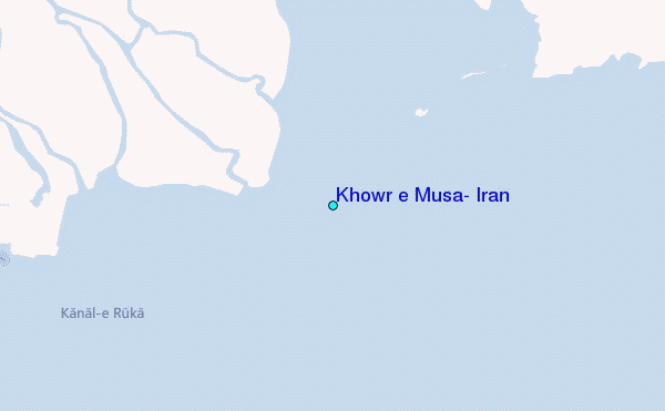
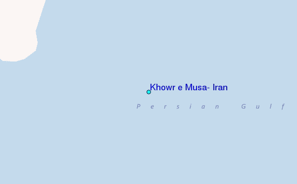
Use this relief map to navigate to tide stations, surf breaks and cities that are in the area of Khowr e Musa, Iran.
Other Nearby Locations' tide tables and tide charts to Khowr e Musa, Iran:
click location name for more details
 Surf breaks close to Khowr e Musa, Iran:
|
||
|---|---|---|
| Closest surf break | Mangaf | 81 mi |
| Second closest surf break | Jebal Ali Lefts | 505 mi |
| Third closest surf break | Jumeirah Beach | 507 mi |
| Fourth closest surf break | Al Hamra - Ras Al Khema | 510 mi |
| Fifth closest surf break | Tim's Reef | 548 mi |

 Nearest
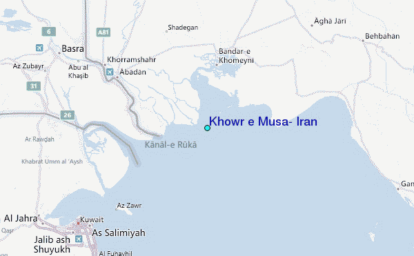