
| Distance / Altitude | Location | Report Date / Time | Live Weather | Wind | Gusts | Temp. | Visibility | Cloud |
|---|---|---|---|---|---|---|---|---|
| 10 km NE / 218 m | Hawthorne Airport (California) | 2024-04-28 18:53 local (2024/04/29 01:53 GMT) | Clear | light winds from the WNW (7 km/h at 290) | 18°C | 16 | ||
| 10 km N / 216 m | Los Angeles Airport (California) | 2024-04-28 18:53 local (2024/04/29 01:53 GMT) | - | light winds from the WSW (11 km/h at 250) | 16°C | 16 | few | |
| 10 km SE / 318 m | Torrance Municipal Airport (California) | 2024-04-28 18:47 local (2024/04/29 01:47 GMT) | - | light winds from the W (19 km/h at 280) | — | 16 | ||
| 15 km SE / 3 m | BUOY-PXAC1 (Marine) | 2024-04-28 19:30 local (2024/04/29 02:30 GMT) | light winds from the NNW (9 km/h at 340) | — | - | |||
| 17 km ESE / 3 m | BUOY-BAXC1 (Marine) | 2024-04-28 19:36 local (2024/04/29 02:36 GMT) | light winds from the NW (11 km/h at 320) | — | - |
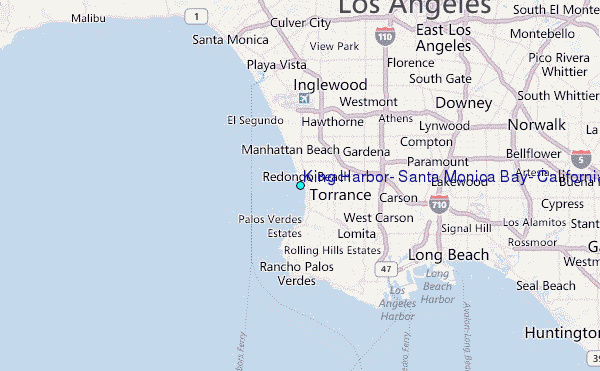
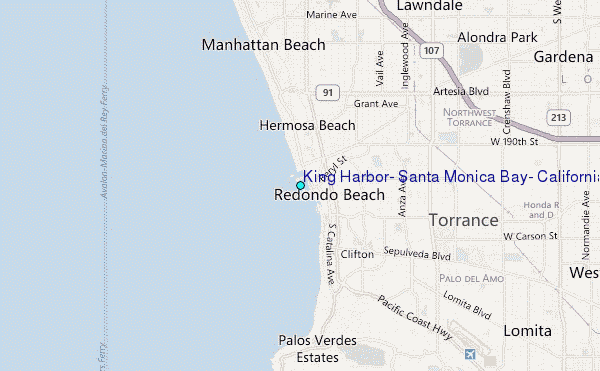
Choose King Harbor, Santa Monica Bay, California Location Map Zoom:
| Contours: | Roads & Rivers: | Select a
tide station / surf break / city |
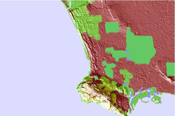
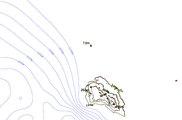

Use this relief map to navigate to tide stations, surf breaks and cities that are in the area of King Harbor, Santa Monica Bay, California.
Other Nearby Locations' tide tables and tide charts to King Harbor, Santa Monica Bay, California:
click location name for more details
 Surf breaks close to King Harbor, Santa Monica Bay, California:
|
||
|---|---|---|
| Closest surf break | Redondo - The Breakwater | 0 mi |
| Second closest surf break | Hermosa Beach and Pier | 1 mi |
| Third closest surf break | Redondo Beach | 1 mi |
| Fourth closest surf break | Topaz Street | 1 mi |
| Fifth closest surf break | Burnout | 2 mi |

 Nearest
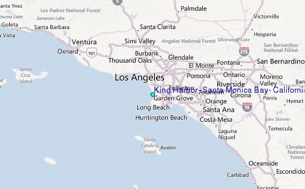