
| Distance / Altitude | Location | Report Date / Time | Live Weather | Wind | Gusts | Temp. | Visibility | Cloud |
|---|---|---|---|---|---|---|---|---|
| 8 km SSE / 191 m | Kingston/Norman Manley International Airport (Jamaica) | 2024-04-27 16:00 local (2024/04/27 21:00 GMT) | Haze | fresh winds from the SSE (32 km/h at 160) | 32°C | 44 km | few mostly cloudy - | |
| 131 km W / 8 m | MontegoBaySangster (Jamaica) | 2024-04-27 16:00 local (2024/04/27 21:00 GMT) | Haze | strong winds from the E (46 km/h at 90) | 29°C | 46 km | few | |
| 131 km W / 193 m | Sangster/Montego Bay Airport (Jamaica) | 2024-04-27 15:00 local (2024/04/27 20:00 GMT) | - | strong winds from the E (48 km/h at 80) | 30°C | 10.0 | few | |
| 168 km W / 30 m | Negril (Jamaica) | 2024-04-27 16:19 local (2024/04/27 21:19 GMT) | dry | calm (2 km/h at 127) | 31°C | - | - - 0 | |
| 230 km SSE / - m | SHIP5661 (ocean) | 2024-04-27 15:00 local (2024/04/27 20:00 GMT) | Clouds dissolving | strong winds from the ENE (39 km/h at 70) | 29°C | 20 km | scattered |
| Contours: | Roads & Rivers: | Select a
tide station / surf break / city |
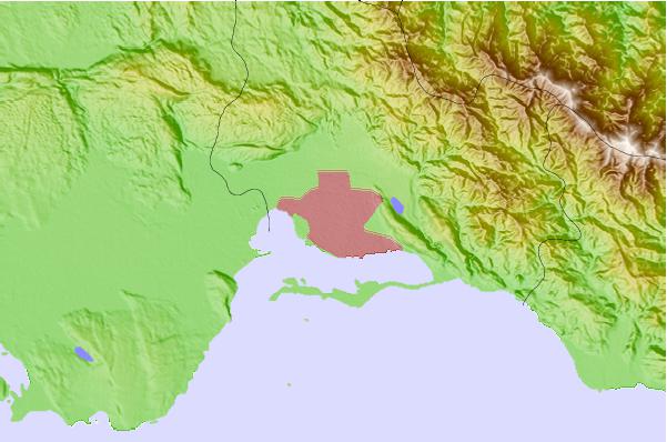
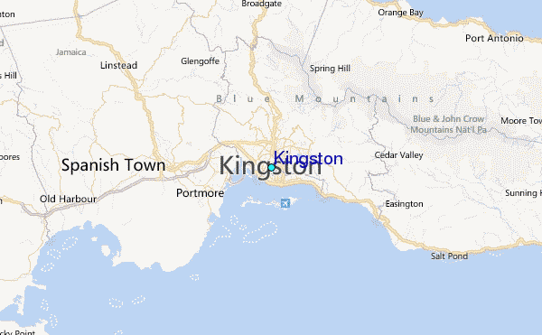
Use this relief map to navigate to tide stations, surf breaks and cities that are in the area of Kingston.
Other Nearby Locations' tide tables and tide charts to Kingston:
click location name for more details
 Surf breaks close to Kingston:
|
||
|---|---|---|
| Closest surf break | Lighthouse 2 | 4 mi |
| Second closest surf break | Zoo (Bull Bay) | 6 mi |
| Third closest surf break | Copa (Bull Bay) | 7 mi |
| Fourth closest surf break | Makka | 17 mi |
| Fifth closest surf break | Peenie Wally | 19 mi |

 Nearest
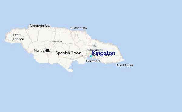