
| Distance / Altitude | Location | Report Date / Time | Live Weather | Wind | Gusts | Temp. | Visibility | Cloud |
|---|---|---|---|---|---|---|---|---|
| 44 km S / 72 m | Svartevaeg- NU (Canada) | 2024-04-29 07:00 local (2024/04/29 11:00 GMT) | no report | light winds from the WNW (7 km/h at 300) | -13°C | - | - | |
| 200 km SSE / 198 m | Eureka Airport (N.w. Territories) | 2024-04-29 08:00 local (2024/04/29 12:00 GMT) | Dry and partly cloudy | light winds from the W (17 km/h at 270) | -12°C | 24 | few broken | |
| 201 km SSE / 65 m | Eureka Climate (Canada) | 2024-04-29 09:00 local (2024/04/29 13:00 GMT) | no report | moderate winds from the WNW (25 km/h at 300) | -9°C | - | - - - | |
| 459 km ENE / 65 m | Alert (Canada) | 2024-04-29 08:00 local (2024/04/29 12:00 GMT) | no report | calm (4 km/h at 290) | -12°C | - | - | |
| 461 km ENE / 198 m | Alert Airport (N.w. Territories) | 2024-04-29 08:31 local (2024/04/29 12:31 GMT) | Fog freezing - | light winds from the SW (6 km/h at 220) | — | 1 |
| Contours: | Roads & Rivers: | Select a
tide station / surf break / city |
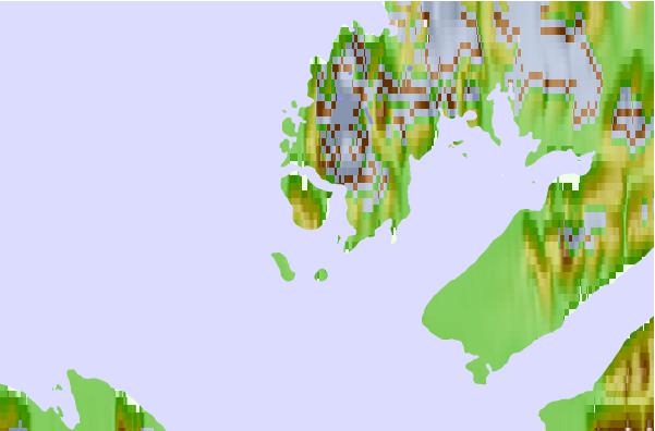
Use this relief map to navigate to tide stations, surf breaks and cities that are in the area of Kleybolt Peninsula, Nunavut.
Other Nearby Locations' tide tables and tide charts to Kleybolt Peninsula, Nunavut:
click location name for more details
 Surf breaks close to Kleybolt Peninsula, Nunavut:
|
||
|---|---|---|
| Closest surf break | Eyvik | 1613 mi |
| Second closest surf break | Garur | 1687 mi |
| Third closest surf break | Grotta | 1689 mi |
| Fourth closest surf break | Hafnarfjordur | 1696 mi |
| Fifth closest surf break | Hafnir | 1697 mi |

 Nearest