
| Distance / Altitude | Location | Report Date / Time | Live Weather | Wind | Gusts | Temp. | Visibility | Cloud |
|---|---|---|---|---|---|---|---|---|
| 165 km SW / 102 m | Pengjia YU (China) | 2024-05-04 06:00 local (2024/05/03 21:00 GMT) | no report | strong winds from the ENE (47 km/h at 60) | 22°C | - | - no observation - | |
| 166 km SSE / 77 m | Akaishi (Japan) | 2024-05-04 07:00 local (2024/05/03 22:00 GMT) | - | fresh winds from the SE (33 km/h at 134) | 26°C | - | - - 0 | |
| 167 km S / 11 m | Iriomotejima (Japan) | 2024-05-04 07:00 local (2024/05/03 22:00 GMT) | - | light winds from the E (6 km/h at 80) | 25°C | 40 km | no observation | |
| 176 km S / 36 m | Yonagunijima Island (Japan) | 2024-05-04 07:00 local (2024/05/03 22:00 GMT) | Rain and snow or hail | light winds from the ESE (13 km/h at 120) | 25°C | 40 km | - no observation - | |
| 177 km SE / 9 m | Tarama Island (Japan) | 2024-05-04 06:00 local (2024/05/03 21:00 GMT) | Dry and partly cloudy | light winds from the E.(Wind varies from 040 to 140 degs) (7 km/h at 90) | 25°C | 10.0 | no significant cloud |
| Contours: | Roads & Rivers: | Select a
tide station / surf break / city |
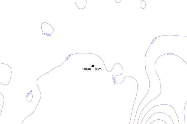
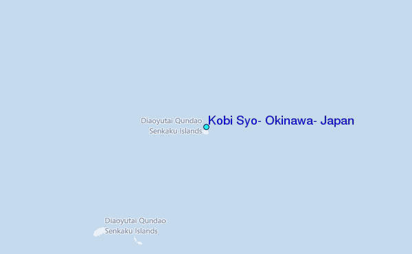
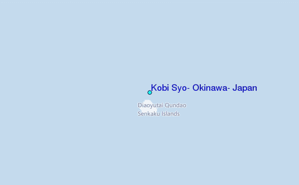
Use this relief map to navigate to tide stations, surf breaks and cities that are in the area of Kobi Syo, Okinawa, Japan.
Other Nearby Locations' tide tables and tide charts to Kobi Syo, Okinawa, Japan:
click location name for more details
 Surf breaks close to Kobi Syo, Okinawa, Japan:
|
||
|---|---|---|
| Closest surf break | Fulung Beach | 126 mi |
| Second closest surf break | Lightning Bolt | 132 mi |
| Third closest surf break | Green Bay | 136 mi |
| Fourth closest surf break | Barrels | 140 mi |
| Fifth closest surf break | Paishawan Beach | 142 mi |

 Nearest
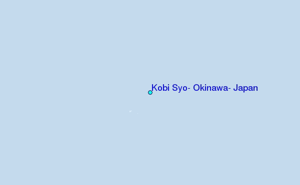