
| Distance / Altitude | Location | Report Date / Time | Live Weather | Wind | Gusts | Temp. | Visibility | Cloud |
|---|---|---|---|---|---|---|---|---|
| 14 km WSW / 33 m | Tongyeong (South Korea) | 2024-04-28 17:00 local (2024/04/28 08:00 GMT) | - | light winds from the S (7 km/h at 180) | 21°C | 50 km | - mostly cloudy - | |
| 18 km W / 15 m | SHIP10480 (Marine) | 2024-04-28 16:00 local (2024/04/28 07:00 GMT) | - (- km/h at -) | — | - km | |||
| 29 km E / 3 m | BUOY-22104 South Korea (Marine) | 2024-04-28 18:00 local (2024/04/28 09:00 GMT) | light winds from the E (14 km/h at 80) | 18°C | - | |||
| 36 km N / 38 m | Changwon (South Korea) | 2024-04-28 17:00 local (2024/04/28 08:00 GMT) | - | wind obs. (6 kph from 90 degs) was rejected (- km/h at -) | 23°C | 50 km | mostly cloudy | |
| 46 km NE / 207 m | Pusan/Kimhae International Airport (Korea) | 2024-04-28 17:00 local (2024/04/28 08:00 GMT) | - | light winds from the SSW (17 km/h at 210) | — | 0.0 |
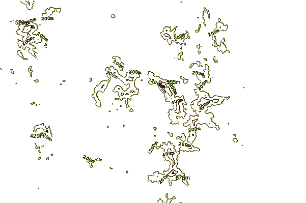
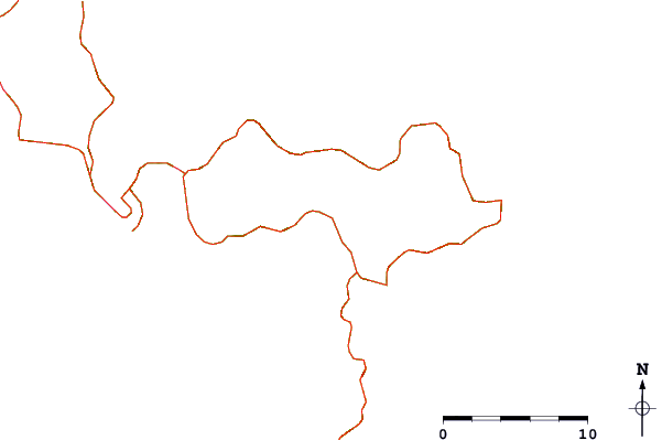
| Contours: | Roads & Rivers: | Select a
tide station / surf break / city |
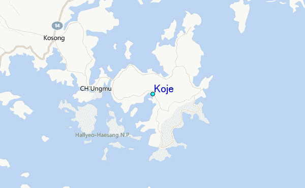
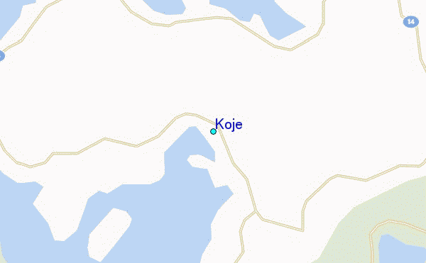
Use this relief map to navigate to tide stations, surf breaks and cities that are in the area of Koje.
Other Nearby Locations' tide tables and tide charts to Koje:
click location name for more details
 Surf breaks close to Koje:
|
||
|---|---|---|
| Closest surf break | Busan (Haeundae Beach) | 39 mi |
| Second closest surf break | Fukuoka | 124 mi |
| Third closest surf break | Nomozaki | 154 mi |
| Fourth closest surf break | Kangjeong (Jejudo Island) | 165 mi |
| Fifth closest surf break | Jungmun Beach (Jeju Island) | 167 mi |

 Nearest
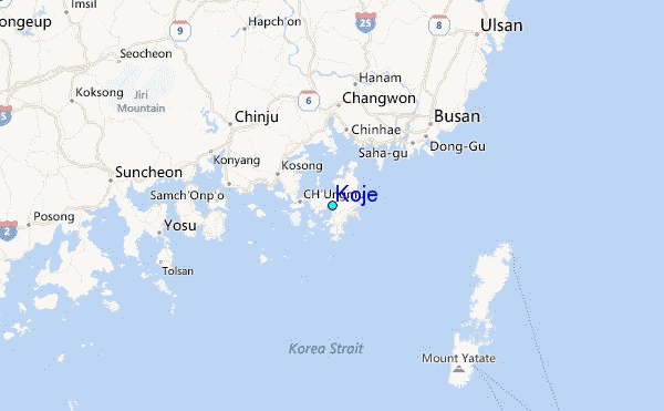