
| Distance / Altitude | Location | Report Date / Time | Live Weather | Wind | Gusts | Temp. | Visibility | Cloud |
|---|---|---|---|---|---|---|---|---|
| 17 km E / 11 m | Hamburg (Germany) | 2024-04-28 15:28 local (2024/04/28 13:28 GMT) | dry | light winds from the SSW (11 km/h at 198) | 21°C | - | - - 0 | |
| 29 km WNW / 2 m | Brunsbuettel (Germany) | 2024-04-28 15:10 local (2024/04/28 13:10 GMT) | dry | light winds from the SSE (13 km/h at 147) | 21°C | - | - - 0 | |
| 31 km NNE / 26 m | Itzehoe (Germany) | 2024-04-28 15:00 local (2024/04/28 13:00 GMT) | Rain and snow or hail | light winds from the SE (11 km/h at 140) | 20°C | 60 km | overcast | |
| 32 km ENE / 23 m | Lentfoehrden (Germany) | 2024-04-28 15:08 local (2024/04/28 13:08 GMT) | dry | calm (0 km/h at 91) | 21°C | - | - - 0 | |
| 33 km SE / 303 m | Hamburg/Finkenwerder Airport (Germany) | 2024-04-28 14:20 local (2024/04/28 12:20 GMT) | - | light winds from the SE.(Wind varies from 110 to 170 degs) (13 km/h at 140) | 18°C | 10.0 |
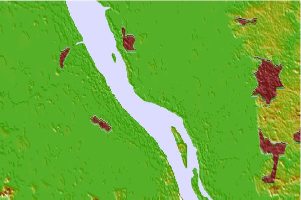
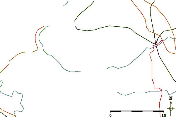
| Contours: | Roads & Rivers: | Select a
tide station / surf break / city |

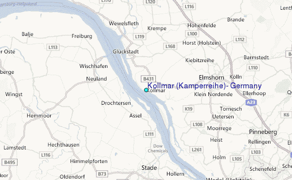
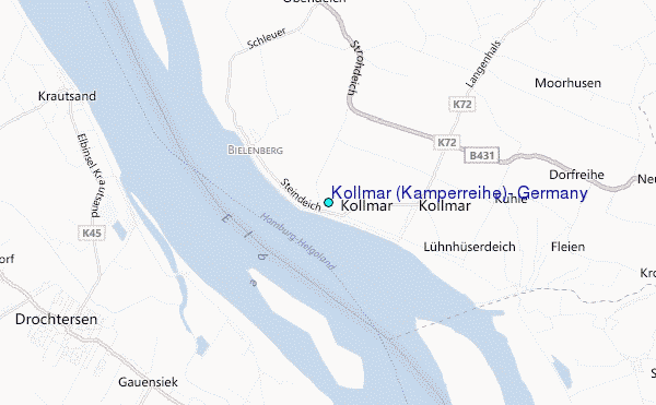
Use this relief map to navigate to tide stations, surf breaks and cities that are in the area of Kollmar (Kamperreihe), Germany.
Other Nearby Locations' tide tables and tide charts to Kollmar (Kamperreihe), Germany:
click location name for more details
 Surf breaks close to Kollmar (Kamperreihe), Germany:
|
||
|---|---|---|
| Closest surf break | St Peter Ording | 55 mi |
| Second closest surf break | Damp | 60 mi |
| Third closest surf break | Hohwachter Bucht | 64 mi |
| Fourth closest surf break | Pelzerhaken | 71 mi |
| Fifth closest surf break | Dazendorf | 73 mi |

 Nearest
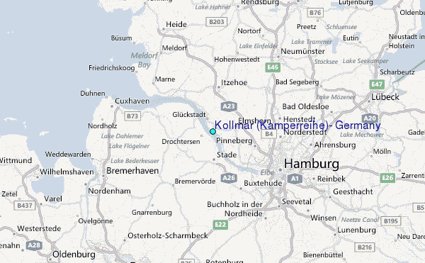