
| Distance / Altitude | Location | Report Date / Time | Live Weather | Wind | Gusts | Temp. | Visibility | Cloud |
|---|---|---|---|---|---|---|---|---|
| 12 km ENE / 218 m | Molokai Airport (Hawaii) | 2024-04-29 12:54 local (2024/04/29 22:54 GMT) | Dry and partly cloudy | moderate winds from the ENE (22 km/h at 70) | 27°C | 16 | few scattered | |
| 44 km SSE / 3 m | Kaumalapau Southwest Buoy- Lanai (Marine) | 2024-04-29 12:56 local (2024/04/29 22:56 GMT) | - (- km/h at -) | — | - | |||
| 46 km SE / 650 m | Lanai City Airport (Hawaii) | 2024-04-29 13:30 local (2024/04/29 23:30 GMT) | Dry and partly cloudy | moderate winds from the SE (20 km/h at 130) | 24°C | 16 | broken broken | |
| 61 km WNW / 3 m | Mokapu Point- HI (Marine) | 2024-04-29 12:56 local (2024/04/29 22:56 GMT) | - (- km/h at -) | — | - | |||
| 63 km W / 8 m | Lanikai Beach (United States) | 2024-04-29 14:00 local (2024/04/30 00:00 GMT) | - | fresh winds from the ENE (30 km/h at 66) | 28°C | - | - - 0 |
| Contours: | Roads & Rivers: | Select a
tide station / surf break / city |
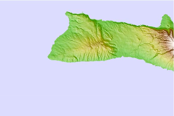
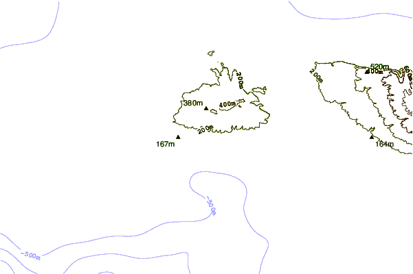
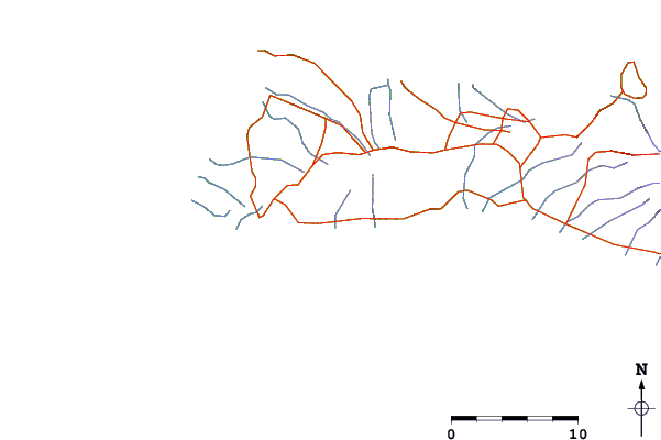
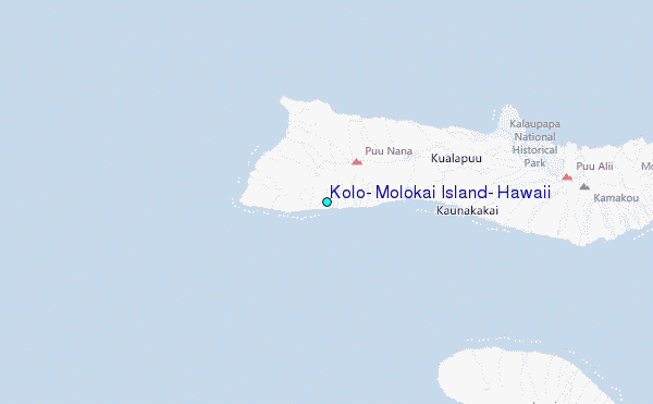
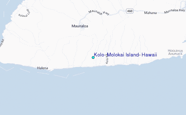
Use this relief map to navigate to tide stations, surf breaks and cities that are in the area of Kolo, Molokai Island, Hawaii.
Other Nearby Locations' tide tables and tide charts to Kolo, Molokai Island, Hawaii:
click location name for more details
 Surf breaks close to Kolo, Molokai Island, Hawaii:
|
||
|---|---|---|
| Closest surf break | Hale O Lono | 2 mi |
| Second closest surf break | Kepuhi Beach/Sheraton's | 6 mi |
| Third closest surf break | Kamaka'ipo/Egusa's | 7 mi |
| Fourth closest surf break | Kapukahehu/Dixies | 7 mi |
| Fifth closest surf break | Tunnels | 7 mi |

 Nearest
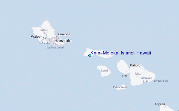