
| Distance / Altitude | Location | Report Date / Time | Live Weather | Wind | Gusts | Temp. | Visibility | Cloud |
|---|---|---|---|---|---|---|---|---|
| 113 km NE / 217 m | Pond Inlet Airport (N.w. Territories) | 2024-05-01 17:00 local (2024/05/01 21:00 GMT) | Dry and partly cloudy | light winds from the SSE (7 km/h at 160) | -14°C | 64 | few broken | |
| 115 km NE / 62 m | Pond Inlet A- NU (Canada) | 2024-05-01 18:00 local (2024/05/01 22:00 GMT) | no report | light winds from the SSW (7 km/h at 200) | -14°C | - | - | |
| 116 km NE / 55 m | Pond Inlet Climate- NU (Canada) | 2024-05-01 18:00 local (2024/05/01 22:00 GMT) | no report | calm (4 km/h at 220) | -14°C | - | - | |
| 133 km SSE / 3 m | SHIP10018 (Marine) | 2024-05-01 17:00 local (2024/05/01 21:00 GMT) | - (- km/h at -) | 29°C | - | |||
| 172 km WNW / 10 m | ArcticBayCs- NU (Canada) | 2024-05-01 18:00 local (2024/05/01 22:00 GMT) | no report | light winds from the SSW (14 km/h at 210) | -12°C | - | - no observation - |
| Contours: | Roads & Rivers: | Select a
tide station / surf break / city |
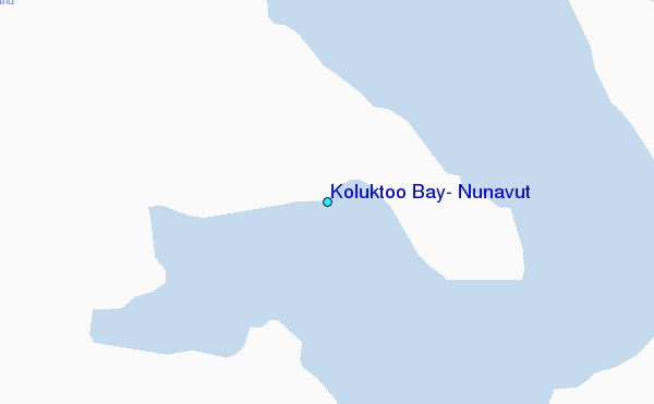
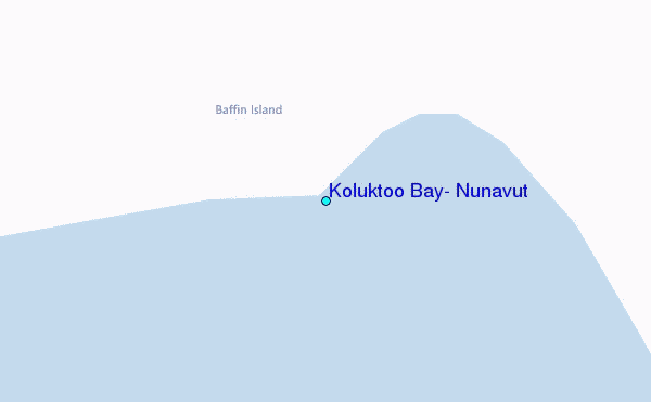
Use this relief map to navigate to tide stations, surf breaks and cities that are in the area of Koluktoo Bay, Nunavut.
Other Nearby Locations' tide tables and tide charts to Koluktoo Bay, Nunavut:
click location name for more details
 Surf breaks close to Koluktoo Bay, Nunavut:
|
||
|---|---|---|
| Closest surf break | Garur | 1528 mi |
| Second closest surf break | Hafnir | 1536 mi |
| Third closest surf break | Grotta | 1538 mi |
| Fourth closest surf break | Eyvik | 1542 mi |
| Fifth closest surf break | Sandvik | 1543 mi |

 Nearest
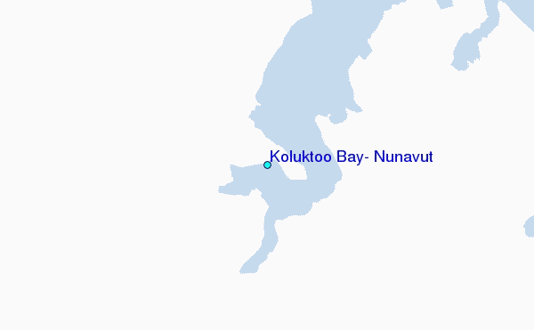