
| Distance / Altitude | Location | Report Date / Time | Live Weather | Wind | Gusts | Temp. | Visibility | Cloud |
|---|---|---|---|---|---|---|---|---|
| 36 km SSW / 129 m | Miri (Malaysia) | 2024-05-03 11:00 local (2024/05/03 03:00 GMT) | Clouds developing | light winds from the E (6 km/h at 100) | 31°C | 50 km | mostly cloudy | |
| 38 km SSW / 213 m | Miri Airport (Malaysia) | 2024-05-03 12:00 local (2024/05/03 04:00 GMT) | Dry and partly cloudy | calm (0 km/h at 0) | 32°C | 10.0 | few few few | |
| 89 km ENE / 706 m | Brunei International Airport (Malaysia) | 2024-05-03 12:30 local (2024/05/03 04:30 GMT) | Dry and partly cloudy | light winds from the WNW (7 km/h at 290) | 32°C | 10.0 | scattered few broken | |
| 91 km ENE / 15 m | BruneiAirport (Brunei) | 2024-05-03 11:00 local (2024/05/03 03:00 GMT) | - | light winds from the WSW (6 km/h at 240) | 31°C | 40 km | - mostly cloudy - | |
| 141 km ENE / 213 m | Labuan Air Force Base Airport (Malaysia) | 2024-05-03 12:00 local (2024/05/03 04:00 GMT) | - | calm (4 km/h at 1) | 31°C | 10.0 | few few |
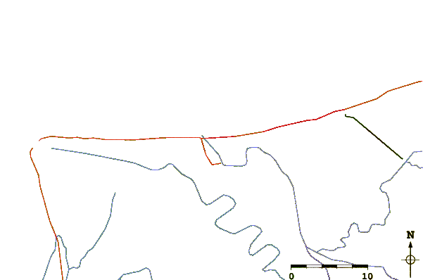
| Contours: | Roads & Rivers: | Select a
tide station / surf break / city |
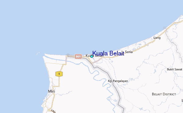
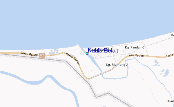
Use this relief map to navigate to tide stations, surf breaks and cities that are in the area of Kuala Belait.
Other Nearby Locations' tide tables and tide charts to Kuala Belait:
click location name for more details
 Surf breaks close to Kuala Belait:
|
||
|---|---|---|
| Closest surf break | Tungku Beach or KM26 | 54 mi |
| Second closest surf break | Berakas Beach | 58 mi |
| Third closest surf break | Tanjung Batu | 68 mi |
| Fourth closest surf break | Pulau Manukan | 158 mi |
| Fifth closest surf break | Tanjung Aru Beach | 158 mi |

 Nearest
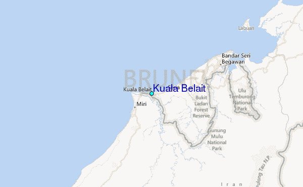