
| Distance / Altitude | Location | Report Date / Time | Live Weather | Wind | Gusts | Temp. | Visibility | Cloud |
|---|---|---|---|---|---|---|---|---|
| 6 km W / 216 m | Kuala Trengganu Airport (Malaysia) | 2024-04-29 19:00 local (2024/04/29 11:00 GMT) | Dry and partly cloudy | wind obs. (6 kph from 1 degs) was rejected (- km/h at -) | 31°C | 10.0 | scattered | |
| 97 km SSE / 5 m | Kerteh (Malaysia) | 2024-04-29 19:00 local (2024/04/29 11:00 GMT) | - | light winds from the N (6 km/h at 1) | 30°C | 10.0 | few | |
| 132 km WNW / 215 m | Kota Bharu/Sultan Ismail Petra Airport (Malaysia) | 2024-04-29 19:00 local (2024/04/29 11:00 GMT) | - | light winds from the E.(Wind varies from 060 to 140 degs) (13 km/h at 90) | 31°C | 10.0 | few | |
| 176 km S / 217 m | Kuantan Air Force Base Airport (Malaysia) | 2024-04-29 19:00 local (2024/04/29 11:00 GMT) | - | light winds from the E.(Wind varies from 060 to 140 degs) (9 km/h at 90) | 31°C | 10.0 | few | |
| 201 km WNW / 217 m | Narathiwat Airport (Thailand) | 2024-04-29 19:00 local (2024/04/29 11:00 GMT) | - | light winds from the E.(Wind varies from 060 to 120 degs) (13 km/h at 90) | 31°C | 10.0 | few |
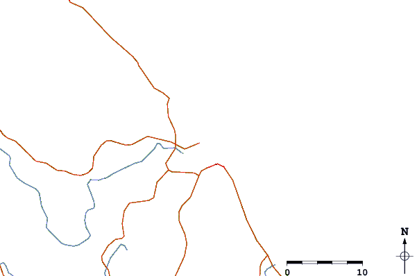
| Contours: | Roads & Rivers: | Select a
tide station / surf break / city |
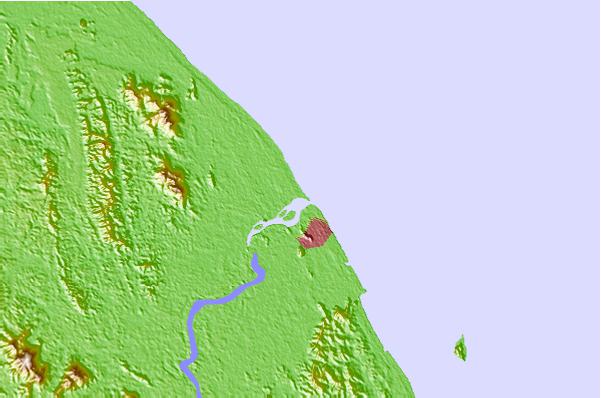
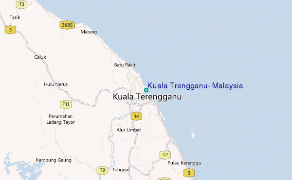
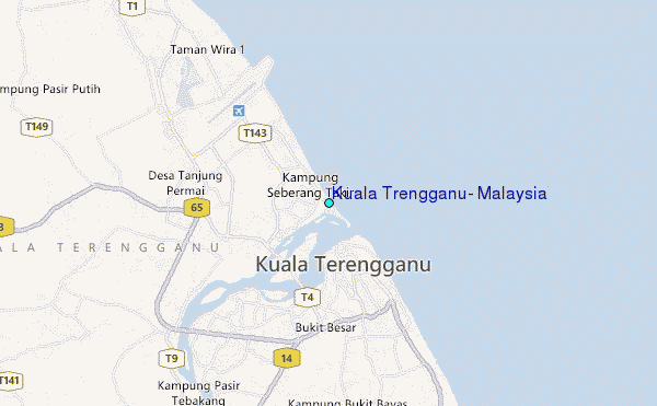
Use this relief map to navigate to tide stations, surf breaks and cities that are in the area of Kuala Trengganu, Malaysia.
Other Nearby Locations' tide tables and tide charts to Kuala Trengganu, Malaysia:
click location name for more details
 Surf breaks close to Kuala Trengganu, Malaysia:
|
||
|---|---|---|
| Closest surf break | Batu Buruk | 2 mi |
| Second closest surf break | Kelulut (Marang) | 14 mi |
| Third closest surf break | Kijal | 74 mi |
| Fourth closest surf break | Cherating | 86 mi |
| Fifth closest surf break | Tioman Island | 192 mi |

 Nearest
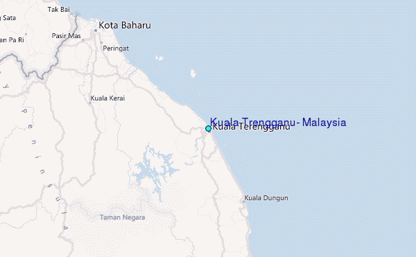