
| Distance / Altitude | Location | Report Date / Time | Live Weather | Wind | Gusts | Temp. | Visibility | Cloud |
|---|---|---|---|---|---|---|---|---|
| 122 km NW / 52 m | Dabolim Airport - Goa (India) | 2024-04-29 17:00 local (2024/04/29 11:30 GMT) | - | light winds from the W (15 km/h at 270) | 32°C | 6.0 | few | |
| 128 km NE / 662 m | Hubli Airport (India) | 2024-04-29 16:30 local (2024/04/29 11:00 GMT) | Dry and partly cloudy | light winds from the WSW (7 km/h at 240) | 39°C | 8.0 | scattered | |
| 162 km N / 758 m | Belgaum Airport (India) | 2024-04-29 17:00 local (2024/04/29 11:30 GMT) | Thunderstorm - | moderate winds from the W (22 km/h at 280) | 31°C | 6.0 | scattered scattered few | |
| 169 km SSE / 103 m | Mangalore International Airport (Bajpe) (India) | 2024-04-29 17:00 local (2024/04/29 11:30 GMT) | - | light winds from the W (15 km/h at 280) | 33°C | 8.0 | few | |
| 252 km N / 570 m | Kolhapur (India) | 2024-04-29 17:00 local (2024/04/29 11:30 GMT) | Dry and partly cloudy | light winds from the W (19 km/h at 260) | 37°C | 6.0 | scattered - - |

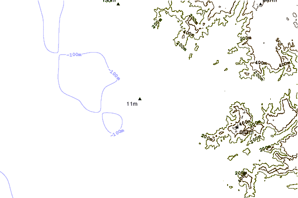
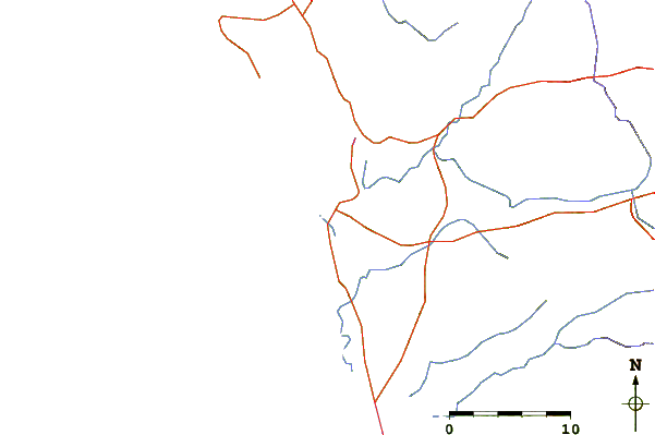
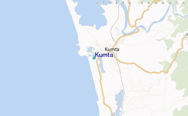
| Contours: | Roads & Rivers: | Select a
tide station / surf break / city |
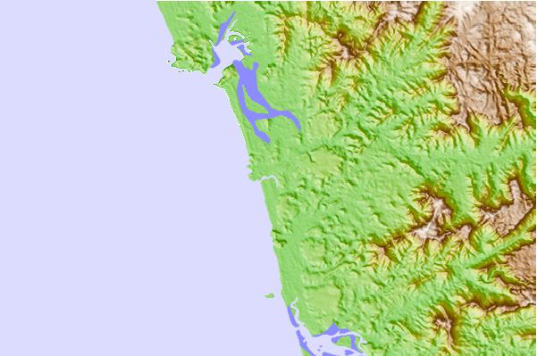
Use this relief map to navigate to tide stations, surf breaks and cities that are in the area of Kumta.
Other Nearby Locations' tide tables and tide charts to Kumta:
click location name for more details
 Surf breaks close to Kumta:
|
||
|---|---|---|
| Closest surf break | Om Beach (Gokarna) | 9 mi |
| Second closest surf break | Kudle -Beach (Gokarna) | 9 mi |
| Third closest surf break | Gokarna Beach | 11 mi |
| Fourth closest surf break | Murudeshwara Beach | 22 mi |
| Fifth closest surf break | Maravanthe Beach | 51 mi |

 Nearest
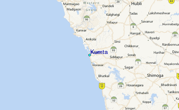