
| Distance / Altitude | Location | Report Date / Time | Live Weather | Wind | Gusts | Temp. | Visibility | Cloud |
|---|---|---|---|---|---|---|---|---|
| 24 km N / 108 m | KupangEltari (Indonesia) | 2024-05-02 03:30 local (2024/05/01 19:30 GMT) | Dry and partly cloudy | light winds from the ESE (13 km/h at 110) | 27°C | 10.0 | no cloud few - | |
| 75 km SSW / 1 m | RoteLekunikBaa (Indonesia) | 2024-05-02 02:00 local (2024/05/01 18:00 GMT) | - | light winds from the ESE (19 km/h at 120) | 26°C | 30 km | - scattered - | |
| 196 km WSW / 26 m | SabuTardamu (Indonesia) | 2024-05-02 02:00 local (2024/05/01 18:00 GMT) | - | light winds from the ESE (11 km/h at 120) | 27°C | 26 km | few | |
| 244 km NW / 0 m | LarantukaGewayantana (Indonesia) | 2024-05-02 02:00 local (2024/05/01 18:00 GMT) | - | light winds from the SSW (9 km/h at 200) | 28°C | 28 km | - few - | |
| 247 km WNW / 3 m | MaumereWaiOti (Indonesia) | 2024-05-02 02:00 local (2024/05/01 18:00 GMT) | - | light winds from the SW (13 km/h at 220) | 27°C | 28 km | - few - |
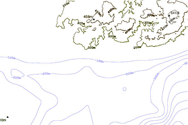
| Contours: | Roads & Rivers: | Select a
tide station / surf break / city |
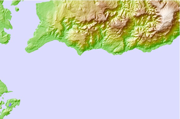
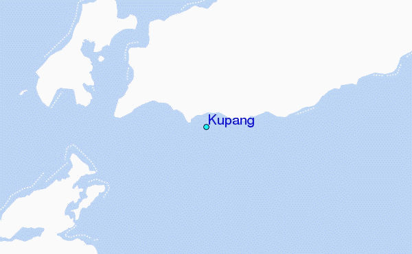
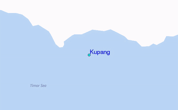
Use this relief map to navigate to tide stations, surf breaks and cities that are in the area of Kupang.
Other Nearby Locations' tide tables and tide charts to Kupang:
click location name for more details
 Surf breaks close to Kupang:
|
||
|---|---|---|
| Closest surf break | Nembrala | 48 mi |
| Second closest surf break | Boa | 65 mi |
| Third closest surf break | T-Land | 66 mi |
| Fourth closest surf break | Peanuts | 67 mi |
| Fifth closest surf break | Do'o | 67 mi |

 Nearest
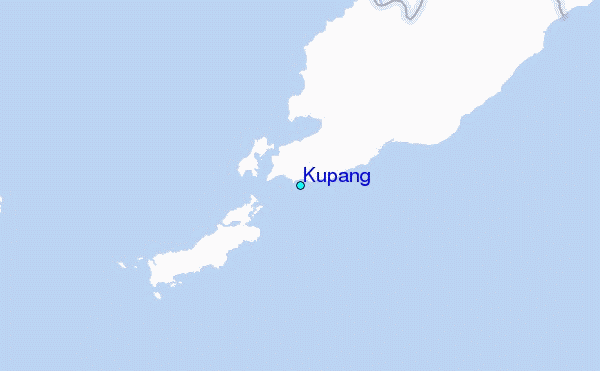