
| Distance / Altitude | Location | Report Date / Time | Live Weather | Wind | Gusts | Temp. | Visibility | Cloud |
|---|---|---|---|---|---|---|---|---|
| 20 km S / 75 m | AeropuertoJoseMarti- Rancho -Boyeros- Habana (Cuba) | 2024-04-27 14:00 local (2024/04/27 18:00 GMT) | Haze | light winds from the E (18 km/h at 80) | 31°C | 29 km | - scattered - | |
| 22 km S / 212 m | Havana/Jose Martí Airport (Cuba) | 2024-04-27 14:50 local (2024/04/27 18:50 GMT) | Dry and partly cloudy | fresh winds from the NE (30 km/h at 50) | 30°C | 9.0 | scattered | |
| 93 km E / 213 m | Varadero Airport (Cuba) | 2024-04-27 14:50 local (2024/04/27 18:50 GMT) | - | fresh winds from the ENE.(Wind varies from 050 to 110 degs) (31 km/h at 70) | 27°C | 9.0 | few | |
| 130 km WSW / 15 m | SHIP4004 (Marine) | 2024-04-27 14:00 local (2024/04/27 18:00 GMT) | - (- km/h at -) | — | - km | |||
| 145 km NNE / 3 m | BUOY-42095 (Marine) | 2024-04-27 15:30 local (2024/04/27 19:30 GMT) | - (- km/h at -) | 26°C | - |
| Contours: | Roads & Rivers: | Select a
tide station / surf break / city |
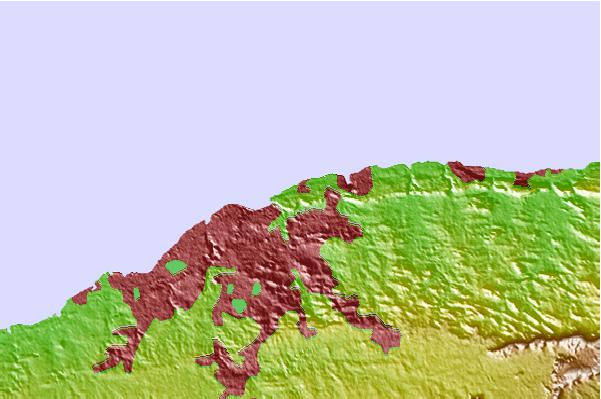
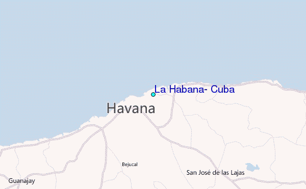
Use this relief map to navigate to tide stations, surf breaks and cities that are in the area of La Habana, Cuba.
Other Nearby Locations' tide tables and tide charts to La Habana, Cuba:
click location name for more details
 Surf breaks close to La Habana, Cuba:
|
||
|---|---|---|
| Closest surf break | Naples Pier | 205 mi |
| Second closest surf break | Wiggins Pass | 219 mi |
| Third closest surf break | South Beach (Miami) | 228 mi |
| Fourth closest surf break | Fifth Street (Miami) | 229 mi |
| Fifth closest surf break | 21st Street (Miami) | 230 mi |

 Nearest
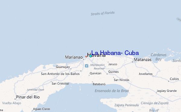