
| Distance / Altitude | Location | Report Date / Time | Live Weather | Wind | Gusts | Temp. | Visibility | Cloud |
|---|---|---|---|---|---|---|---|---|
| 81 km S / 8 m | Dumaguete (Philippines) | 2024-04-29 14:00 local (2024/04/29 06:00 GMT) | no report | moderate winds from the ENE (22 km/h at 70) | 32°C | 15 | - scattered - | |
| 81 km S / 8 m | Dumaguete (Philippines) | 2024-04-29 14:00 local (2024/04/29 06:00 GMT) | no report | moderate winds from the ENE (22 km/h at 70) | 32°C | 15 | - | |
| 82 km SE / 8 m | Tagbilaran Airport-Bohol Airport (Philippines) | 2024-04-29 14:00 local (2024/04/29 06:00 GMT) | - | light winds from the N (7 km/h at 360) | 33°C | 43 km | scattered | |
| 82 km SE / 8 m | Tagbilaran (Philippines) | 2024-04-29 14:00 local (2024/04/29 06:00 GMT) | - | light winds from the N (7 km/h at 360) | 33°C | 43 km | scattered | |
| 88 km ENE / 24 m | Macatan Airport (Philippines) | 2024-04-29 14:00 local (2024/04/29 06:00 GMT) | no report | light winds from the NNE (18 km/h at 30) | 32°C | 10 | - scattered - |
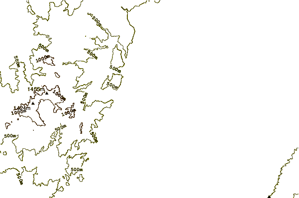
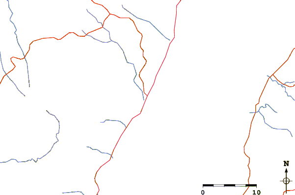
| Contours: | Roads & Rivers: | Select a
tide station / surf break / city |
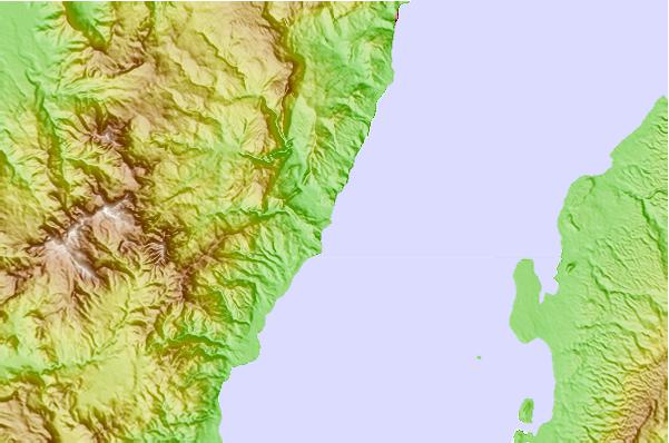
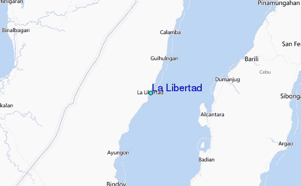
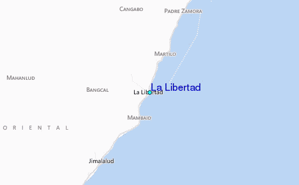
Use this relief map to navigate to tide stations, surf breaks and cities that are in the area of La Libertad.
Other Nearby Locations' tide tables and tide charts to La Libertad:
click location name for more details
 Surf breaks close to La Libertad:
|
||
|---|---|---|
| Closest surf break | Llorente | 184 mi |
| Second closest surf break | Boulevard | 185 mi |
| Third closest surf break | Guitagican Beach | 185 mi |
| Fourth closest surf break | Pirates Cove | 186 mi |
| Fifth closest surf break | Calicoan Island ABCD Beach | 188 mi |

 Nearest
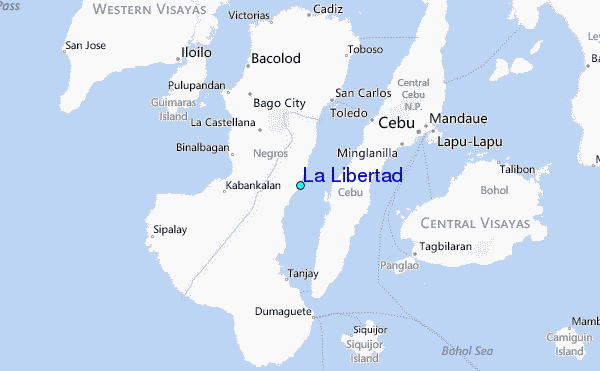