
| Distance / Altitude | Location | Report Date / Time | Live Weather | Wind | Gusts | Temp. | Visibility | Cloud |
|---|---|---|---|---|---|---|---|---|
| 67 km WNW / 293 m | Davao/Francisco Bangoy International Airport (Philippines) | 2024-04-28 17:00 local (2024/04/28 09:00 GMT) | Dry and partly cloudy | light winds from the SW (7 km/h at 230) | 32°C | 10.0 | few broken broken | |
| 120 km SW / 15 m | General Santos International Airport (Paliparang Pandaigdig ng Heneral Santos) (Philippines) | 2024-04-28 17:00 local (2024/04/28 09:00 GMT) | haze | light winds from the NNE (18 km/h at 20) | 34°C | 18 | - - - | |
| 165 km W / 48 m | Davao Airport (Philippines) | 2024-04-28 17:00 local (2024/04/28 09:00 GMT) | no report | light winds from the SW (7 km/h at 230) | 32°C | 15 | - | |
| 195 km WNW / 892 m | Malaybalay (Philippines) | 2024-04-28 17:00 local (2024/04/28 09:00 GMT) | haze | - (- km/h at -) | 33°C | 20 | - | |
| 213 km W / 53 m | Cotabato-Mindanao (Philippines) | 2024-04-28 17:00 local (2024/04/28 09:00 GMT) | distant precipitation but not falling at station | light winds from the WNW (11 km/h at 300) | 32°C | 12 | - - - |
| Contours: | Roads & Rivers: | Select a
tide station / surf break / city |
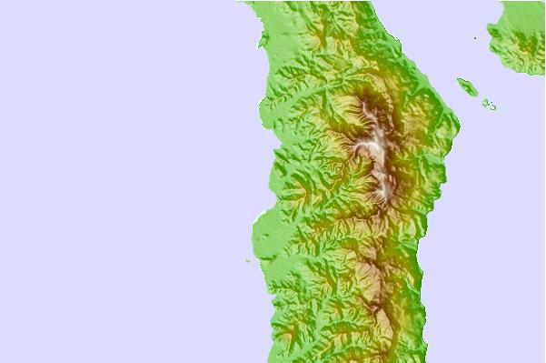
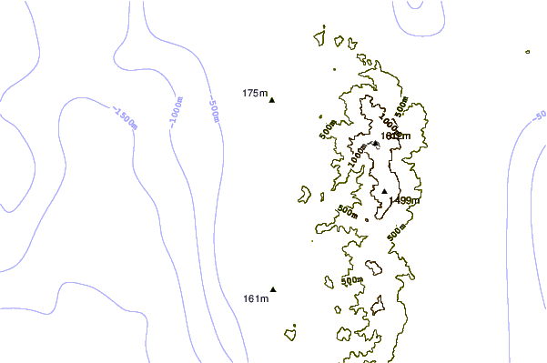
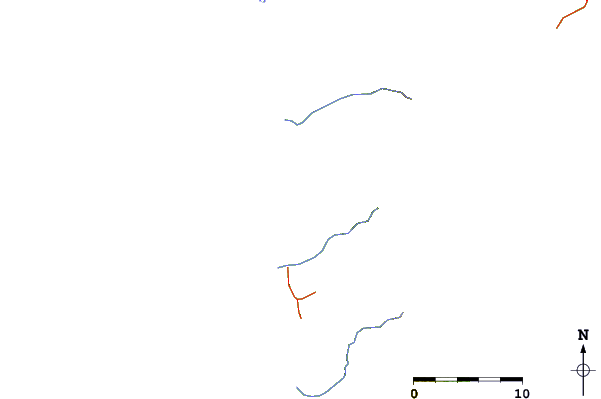
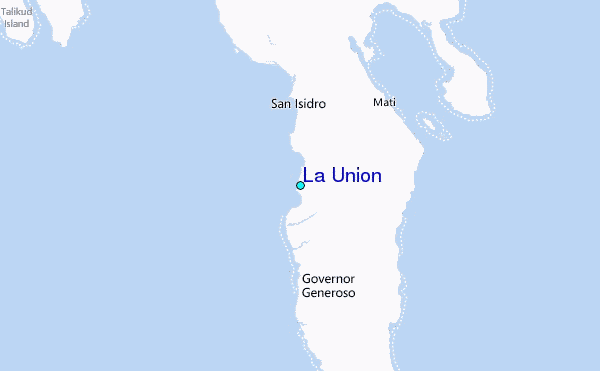
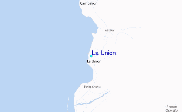
Use this relief map to navigate to tide stations, surf breaks and cities that are in the area of La Union.
Other Nearby Locations' tide tables and tide charts to La Union:
click location name for more details
 Surf breaks close to La Union:
|
||
|---|---|---|
| Closest surf break | Tago River | 160 mi |
| Second closest surf break | Marami Beach | 165 mi |
| Third closest surf break | Lanuza Rivermouth | 175 mi |
| Fourth closest surf break | Big Star | 177 mi |
| Fifth closest surf break | Moshi-Moshi | 177 mi |

 Nearest
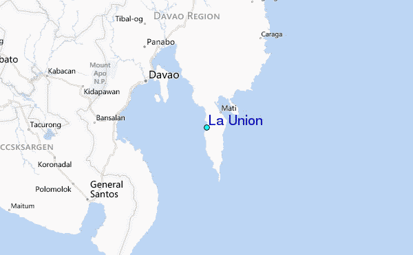