
| Distance / Altitude | Location | Report Date / Time | Live Weather | Wind | Gusts | Temp. | Visibility | Cloud |
|---|---|---|---|---|---|---|---|---|
| 43 km NE / 210 m | Serang (Indonesia) | 2024-05-01 16:00 local (2024/05/01 09:00 GMT) | Haze | calm (0 km/h at 0) | 30°C | 5.0 km | overcast | |
| 88 km E / 52 m | Dukuh Satu wx (Indonesia) | 2024-05-01 17:02 local (2024/05/01 10:02 GMT) | - | - (- km/h at ) | 34°C | - | - - 0 | |
| 92 km E / 46 m | CurugBudiarto (Indonesia) | 2024-05-01 16:00 local (2024/05/01 09:00 GMT) | Haze | light winds from the NW (6 km/h at 320) | 31°C | 4.3 km | - mostly cloudy - | |
| 94 km ENE / 176 m | Soekarno-Hatta International Airport (Indonesia) | 2024-05-01 16:30 local (2024/05/01 09:30 GMT) | - | light winds from the NE (9 km/h at 50) | 30°C | 30 km | few mostly cloudy - | |
| 101 km E / 15 m | Pisangan Timur wx (Indonesia) | 2024-05-01 16:04 local (2024/05/01 09:04 GMT) | dry | calm (5 km/h at 203) | 32°C | - | - - 0 |
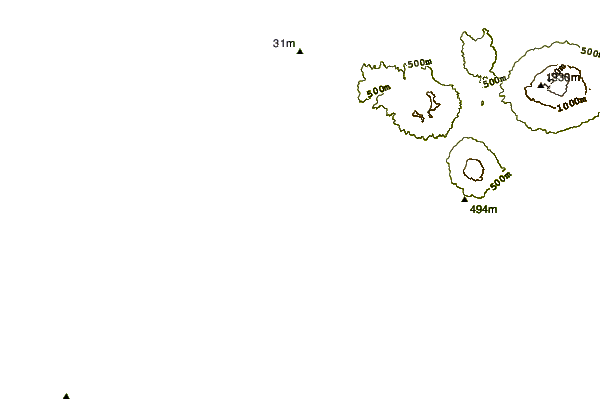
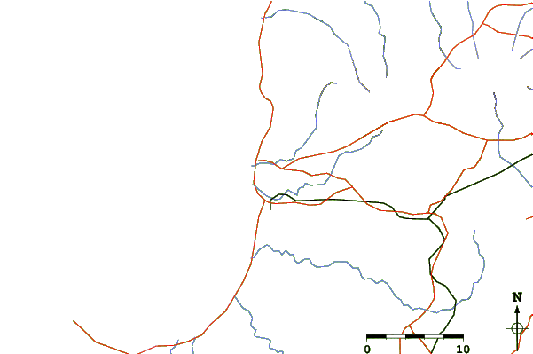
| Contours: | Roads & Rivers: | Select a
tide station / surf break / city |
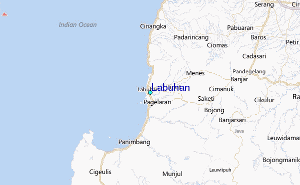
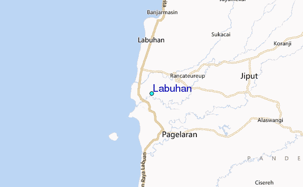
Use this relief map to navigate to tide stations, surf breaks and cities that are in the area of Labuhan.
Other Nearby Locations' tide tables and tide charts to Labuhan:
click location name for more details
 Surf breaks close to Labuhan:
|
||
|---|---|---|
| Closest surf break | Baya Beach | 47 mi |
| Second closest surf break | Inside Panaitan Lefts | 48 mi |
| Third closest surf break | Baya Reef | 49 mi |
| Fourth closest surf break | Inside Panaitan Rights | 50 mi |
| Fifth closest surf break | One Palm Point - Panaitan island | 50 mi |

 Nearest
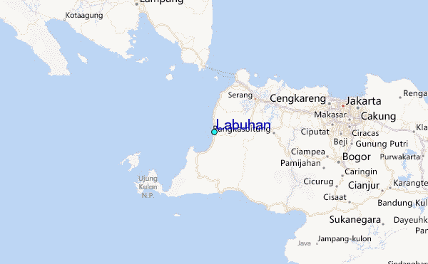