
| Distance / Altitude | Location | Report Date / Time | Live Weather | Wind | Gusts | Temp. | Visibility | Cloud |
|---|---|---|---|---|---|---|---|---|
| 380 km N / 217 m | Hasanuddin/Ujung Airport (Indonesia) | 2024-04-29 09:30 local (2024/04/29 01:30 GMT) | Shower - in the vicinity | calm (4 km/h at 1) | 27°C | 9.0 | few scattered | |
| 399 km WSW / 97 m | Bandara Airport (Indonesia) | 2024-04-29 09:30 local (2024/04/29 01:30 GMT) | Dry and partly cloudy | light winds from the ESE (11 km/h at 110) | 28°C | 8.0 | scattered | |
| 454 km ESE / 108 m | KupangEltari (Indonesia) | 2024-04-29 09:30 local (2024/04/29 01:30 GMT) | Dry and partly cloudy | moderate winds from the E (26 km/h at 90) | 32°C | 10.0 | few broken broken | |
| 522 km WSW / 216 m | Bali International Airport (Indonesia) | 2024-04-29 09:30 local (2024/04/29 01:30 GMT) | - | fresh winds from the ESE (31 km/h at 120) | 29°C | 10.0 | few | |
| 600 km SSW / 15 m | SHIP11502 (Marine) | 2024-04-29 08:00 local (2024/04/29 00:00 GMT) | gales from the E (63.0 km/h at 90) | 29°C | 17.7 km |
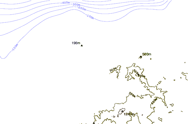
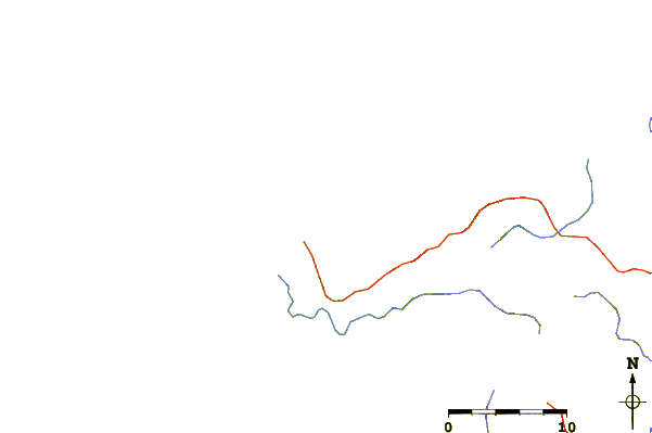
| Contours: | Roads & Rivers: | Select a
tide station / surf break / city |
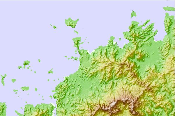
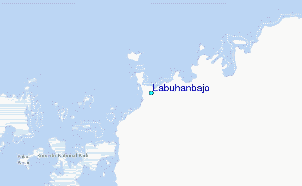
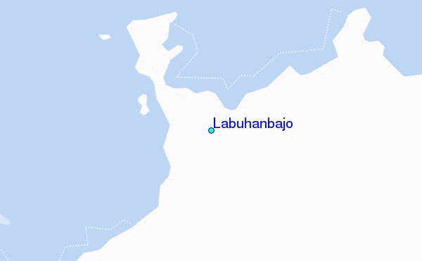
Use this relief map to navigate to tide stations, surf breaks and cities that are in the area of Labuhanbajo.
Other Nearby Locations' tide tables and tide charts to Labuhanbajo:
click location name for more details
 Surf breaks close to Labuhanbajo:
|
||
|---|---|---|
| Closest surf break | Wanukaka | 97 mi |
| Second closest surf break | Bondo Kodi | 100 mi |
| Third closest surf break | Marosi | 100 mi |
| Fourth closest surf break | Sunset Left | 100 mi |
| Fifth closest surf break | Wanjapu | 101 mi |

 Nearest
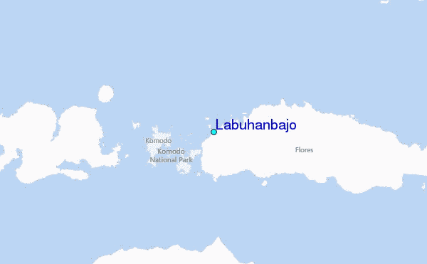