
| Distance / Altitude | Location | Report Date / Time | Live Weather | Wind | Gusts | Temp. | Visibility | Cloud |
|---|---|---|---|---|---|---|---|---|
| 298 km S / 359 m | Port Moresby International Airport (Papua New Guinea) | 2024-05-03 04:00 local (2024/05/02 18:00 GMT) | Dry and cloudy | light winds from the N (6 km/h at 1) | 26°C | 10.0 | broken overcast | |
| 567 km SSW / 4 m | Coconut Island (Australia) | 2024-05-03 03:00 local (2024/05/02 17:00 GMT) | no report | - (- km/h at -) | 27°C | - | - | |
| 670 km SSW / 13 m | Horn Island Airport (Australia) | 2024-05-03 03:30 local (2024/05/02 17:30 GMT) | Heavy rain | moderate winds from the ESE (24 km/h at 120) | 25°C | 3.4 | broken broken overcast | |
| 671 km SSW / 5 m | Horn Island Automatic Weather Station (Australia) | 2024-05-03 04:00 local (2024/05/02 18:00 GMT) | Continuous moderate rain | moderate winds from the SE (26 km/h at 130) | 25°C | 2.0 km | - no observation - | |
| 744 km WSW / 125 m | Tanah Merah (Indonesia (maluku And Irian Jaya)) | 2024-05-03 04:00 local (2024/05/02 18:00 GMT) | Rain | wind obs. (7 kph from 340 degs) was rejected (- km/h at -) | 26°C | 5.0 km | overcast |
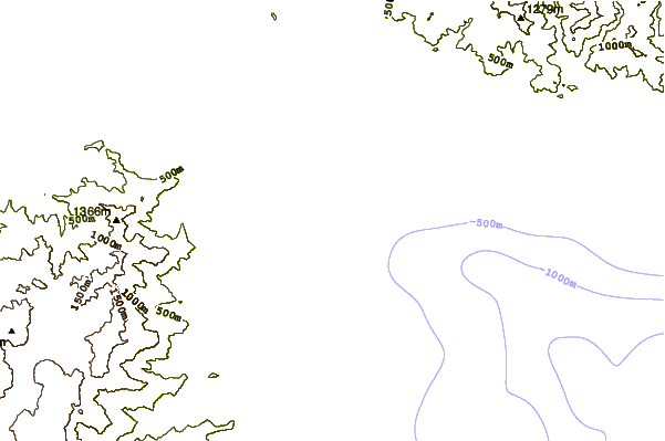
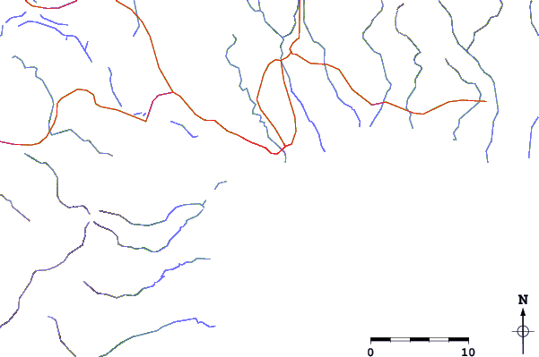
| Contours: | Roads & Rivers: | Select a
tide station / surf break / city |
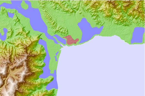
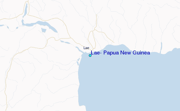
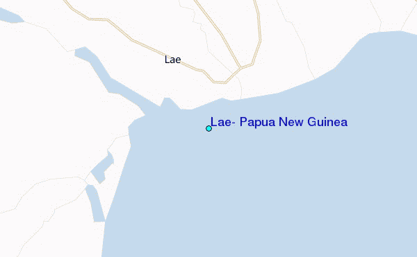
Use this relief map to navigate to tide stations, surf breaks and cities that are in the area of Lae, Papua New Guinea.
Other Nearby Locations' tide tables and tide charts to Lae, Papua New Guinea:
click location name for more details
 Surf breaks close to Lae, Papua New Guinea:
|
||
|---|---|---|
| Closest surf break | Tupira Right | 192 mi |
| Second closest surf break | Forok Point | 311 mi |
| Third closest surf break | Moem Point | 317 mi |
| Fourth closest surf break | The Wharf (Mission Point) | 318 mi |
| Fifth closest surf break | Wewak Point | 321 mi |

 Nearest
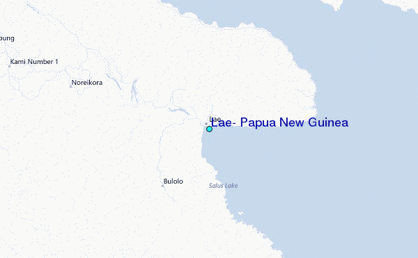