
| Distance / Altitude | Location | Report Date / Time | Live Weather | Wind | Gusts | Temp. | Visibility | Cloud |
|---|---|---|---|---|---|---|---|---|
| 21 km NW / 194 m | Lagos/ikeja Airport (Nigeria) | 2024-04-27 17:00 local (2024/04/27 16:00 GMT) | Dry and partly cloudy | light winds from the S (7 km/h at 170) | 35°C | 30 km | scattered mostly cloudy - | |
| 115 km WSW / 213 m | Cotonou/Cadjehoun Airport (Benin) | 2024-04-27 17:00 local (2024/04/27 16:00 GMT) | - | moderate winds from the SW (20 km/h at 220) | 33°C | 10.0 | few mostly cloudy - | |
| 124 km NNE / 66 m | Ibadan Airport (Nigeria) | 2024-04-27 17:00 local (2024/04/27 16:00 GMT) | - | light winds from the SW (11 km/h at 230) | 32°C | 10.0 | few | |
| 127 km NNE / 51 m | Ibadan Airport (Nigeria) | 2024-04-27 16:00 local (2024/04/27 15:00 GMT) | - | light winds from the W (11 km/h at 270) | 34°C | 30 km | - mostly cloudy - | |
| 170 km W / 167 m | Bohicon (Benin) | 2024-04-27 16:00 local (2024/04/27 15:00 GMT) | - | light winds from the SE (11 km/h at 140) | 35°C | 30 km | - mostly cloudy - |
| Contours: | Roads & Rivers: | Select a
tide station / surf break / city |
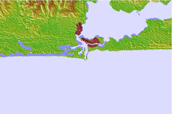
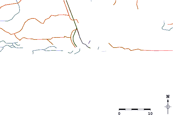
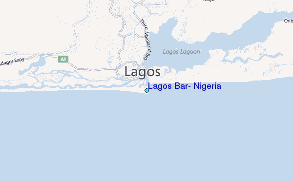
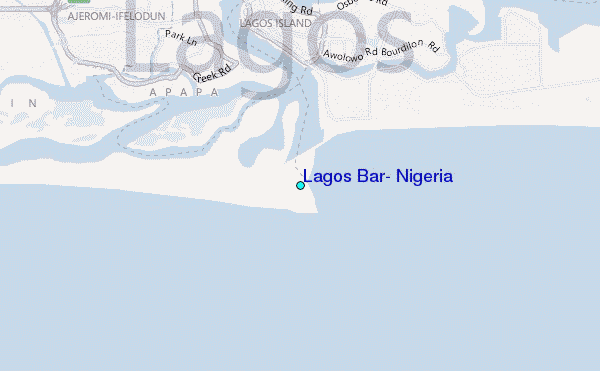
Use this relief map to navigate to tide stations, surf breaks and cities that are in the area of Lagos Bar, Nigeria.
Other Nearby Locations' tide tables and tide charts to Lagos Bar, Nigeria:
click location name for more details
 Surf breaks close to Lagos Bar, Nigeria:
|
||
|---|---|---|
| Closest surf break | Lighthouse Beach | 1 mi |
| Second closest surf break | Tarqua Bay | 1 mi |
| Third closest surf break | Shipwreck | 18 mi |
| Fourth closest surf break | La Meduse | 67 mi |
| Fifth closest surf break | La Routes des Pêches | 73 mi |

 Nearest
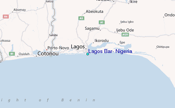