
| Distance / Altitude | Location | Report Date / Time | Live Weather | Wind | Gusts | Temp. | Visibility | Cloud |
|---|---|---|---|---|---|---|---|---|
| 60 km ESE / 15 m | ASCATC41E3S (Marine) | 2024-04-30 21:27 local (2024/04/30 18:27 GMT) | fresh winds from the S (36 km/h at 191) | — | - km | |||
| 63 km E / 15 m | ASCATC41E2S (Marine) | 2024-04-30 21:27 local (2024/04/30 18:27 GMT) | fresh winds from the S (35 km/h at 191) | — | - km | |||
| 108 km ESE / 15 m | ASCATC42E3S (Marine) | 2024-04-30 21:27 local (2024/04/30 18:27 GMT) | fresh winds from the SSW (33 km/h at 206) | — | - km | |||
| 131 km S / 15 m | ASCATC40E3S (Marine) | 2024-04-30 21:27 local (2024/04/30 18:27 GMT) | strong winds from the S (40 km/h at 184) | — | - km | |||
| 133 km SSW / 1 m | Malindi Airport (Kenya) | 2024-04-30 21:00 local (2024/04/30 18:00 GMT) | - | fresh winds from the SSW (33 km/h at 210) | 29°C | 10.0 | few |
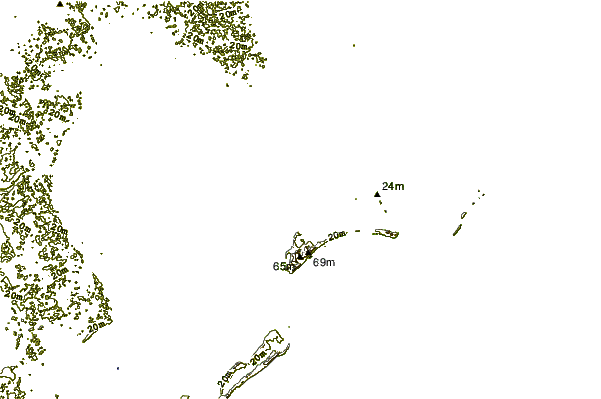
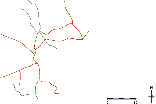
| Contours: | Roads & Rivers: | Select a
tide station / surf break / city |
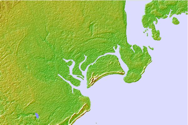
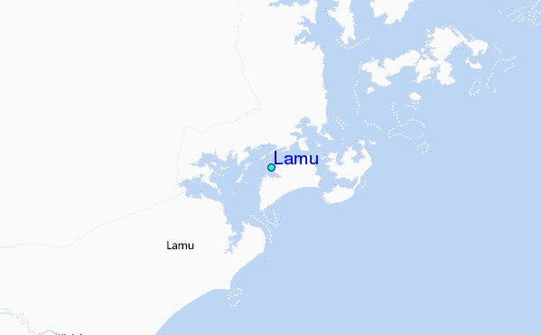
Use this relief map to navigate to tide stations, surf breaks and cities that are in the area of Lamu.
Other Nearby Locations' tide tables and tide charts to Lamu:
click location name for more details
 Surf breaks close to Lamu:
|
||
|---|---|---|
| Closest surf break | Malindi Bay | 81 mi |
| Second closest surf break | Watamu Bay | 93 mi |
| Third closest surf break | Mombasa Channel | 149 mi |
| Fourth closest surf break | Nungwi Reefs | 261 mi |
| Fifth closest surf break | Jam's Right | 325 mi |

 Nearest
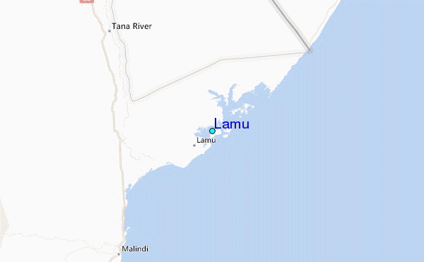