
| Distance / Altitude | Location | Report Date / Time | Live Weather | Wind | Gusts | Temp. | Visibility | Cloud |
|---|---|---|---|---|---|---|---|---|
| 3 km N / 2 m | Pompano Beach (Florida) | 2024-04-28 21:03 local (2024/04/29 01:03 GMT) | dry | light winds from the E (10 km/h at 92) | 24°C | - | - - 0 | |
| 7 km NW / 218 m | Pompano Beach Airport (Florida) | 2024-04-28 19:53 local (2024/04/28 23:53 GMT) | Dry and partly cloudy | moderate winds from the ENE (26 km/h at 70) | 24°C | 16 | scattered broken broken | |
| 9 km WSW / 218 m | Fort Lauderdale Executive Airport (Florida) | 2024-04-28 19:53 local (2024/04/28 23:53 GMT) | Dry and partly cloudy | moderate winds from the ENE (26 km/h at 70) | 25°C | 16 | few scattered broken | |
| 10 km N / 4 m | Lighthouse Point wx (United States) | 2024-04-28 21:04 local (2024/04/29 01:04 GMT) | dry | light winds from the E (16 km/h at 82) | 25°C | - | - - 0 | |
| 10 km S / 2 m | Harbor Heights wx (United States) | 2024-04-28 20:30 local (2024/04/29 00:30 GMT) | dry | fresh winds from the N (31 km/h at 360) | 24°C | - | - - 0 |
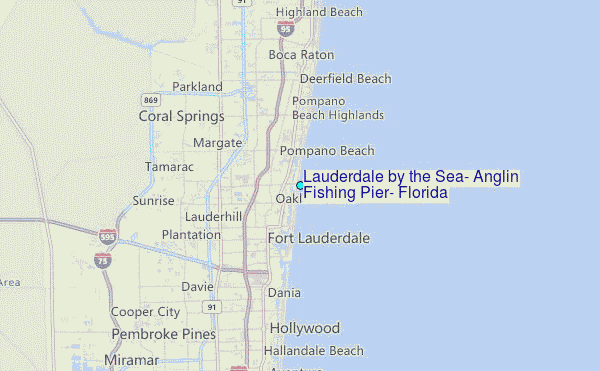
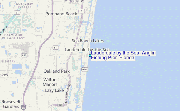
Choose Lauderdale by the Sea, Anglin Fishing Pier, Florida Location Map Zoom:
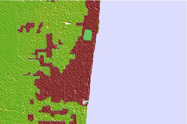
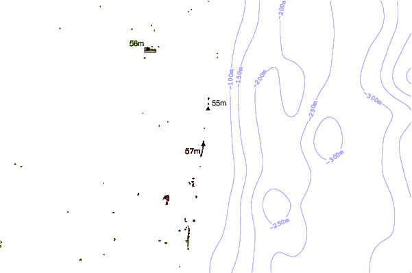
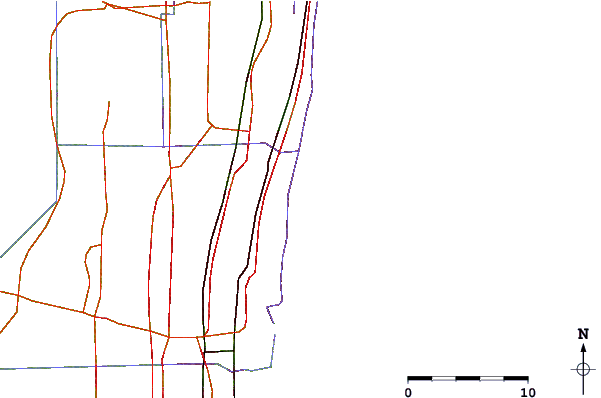
| Contours: | Roads & Rivers: | Select a
tide station / surf break / city |
Use this relief map to navigate to tide stations, surf breaks and cities that are in the area of Lauderdale by the Sea, Anglin Fishing Pier, Florida.
Other Nearby Locations' tide tables and tide charts to Lauderdale by the Sea, Anglin Fishing Pier, Florida:
click location name for more details
 Surf breaks close to Lauderdale by the Sea, Anglin Fishing Pier, Florida:
|
||
|---|---|---|
| Closest surf break | Fort Lauderdale 14th Street | 3 mi |
| Second closest surf break | Deerfield Park Pier | 7 mi |
| Third closest surf break | Deerfield Beach Pier | 9 mi |
| Fourth closest surf break | Dania South Beach | 9 mi |
| Fifth closest surf break | Boca Inlet | 10 mi |

 Nearest
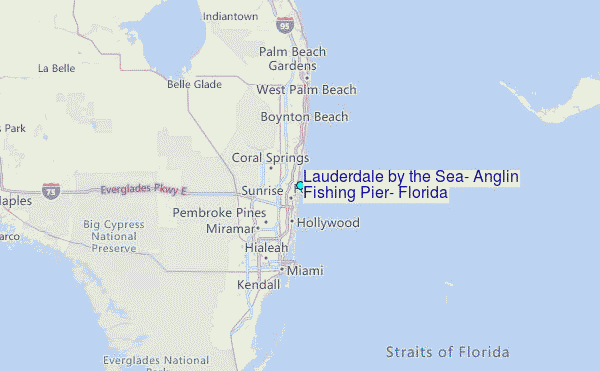