
| Distance / Altitude | Location | Report Date / Time | Live Weather | Wind | Gusts | Temp. | Visibility | Cloud |
|---|---|---|---|---|---|---|---|---|
| 134 km ENE / 3 m | Shelikof Strait- AK (Marine) | 2024-04-28 11:50 local (2024/04/28 19:50 GMT) | moderate winds from the SSW (22 km/h at 210) | 5°C | - | |||
| 135 km ENE / - m | SHIP11096 (ocean) | 2024-04-28 11:00 local (2024/04/28 19:00 GMT) | - | moderate winds from the SSW (22 km/h at 210) | 5°C | - | no observation | |
| 137 km ESE / 3 m | BUOY-ALIA2 (Marine) | 2024-04-28 11:48 local (2024/04/28 19:48 GMT) | moderate winds from the NW (21 km/h at 310) | 9°C | - | |||
| 139 km ESE / 14 m | Akhiok (Alaska) | 2024-04-28 10:56 local (2024/04/28 18:56 GMT) | Clear | light winds from the SSE (7 km/h at 160) | 9°C | 16 | ||
| 140 km N / 211 m | King Salmon Airport (Alaska) | 2024-04-28 10:54 local (2024/04/28 18:54 GMT) | Haze - | light winds from the S (13 km/h at 180) | 5°C | 10 | overcast |
| Contours: | Roads & Rivers: | Select a
tide station / surf break / city |
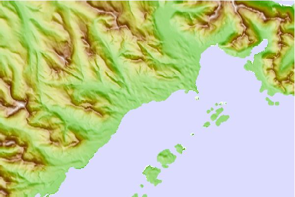
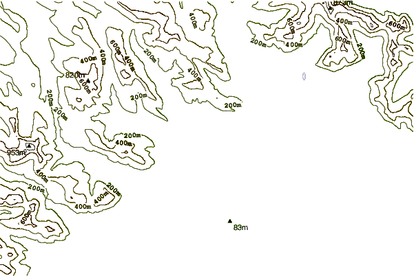
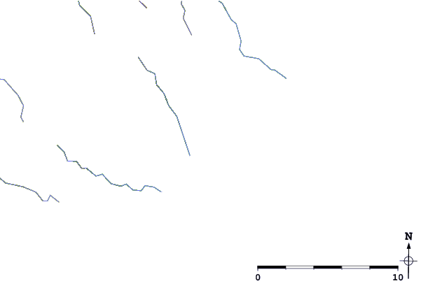
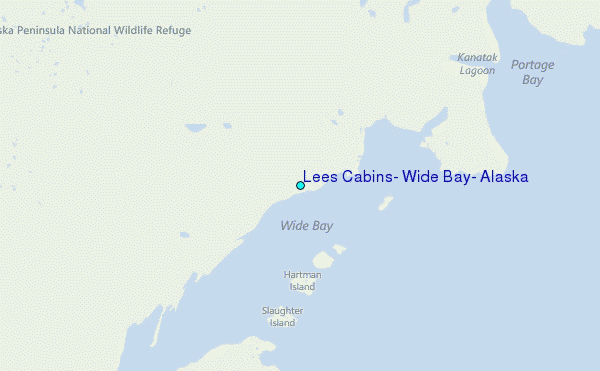
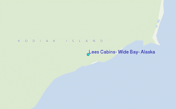
Use this relief map to navigate to tide stations, surf breaks and cities that are in the area of Lees Cabins, Wide Bay, Alaska.
Other Nearby Locations' tide tables and tide charts to Lees Cabins, Wide Bay, Alaska:
click location name for more details
 Surf breaks close to Lees Cabins, Wide Bay, Alaska:
|
||
|---|---|---|
| Closest surf break | Monashka Bay | 145 mi |
| Second closest surf break | Fossil Beach Kodiak | 147 mi |
| Third closest surf break | Termination Point | 147 mi |
| Fourth closest surf break | Mill Bay | 149 mi |
| Fifth closest surf break | Bird Point (Tidal Bore) | 286 mi |

 Nearest
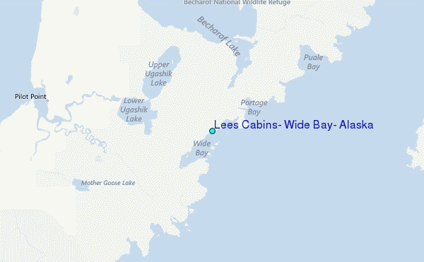