
| Distance / Altitude | Location | Report Date / Time | Live Weather | Wind | Gusts | Temp. | Visibility | Cloud |
|---|---|---|---|---|---|---|---|---|
| 6 km S / 218 m | Libreville/Leon M'Ba Airport (Gabon) | 2024-04-30 01:30 local (2024/04/30 00:30 GMT) | state of sky unchanged | light winds from the ENE (7 km/h at 60) | 28°C | 10 | scattered few - | |
| 153 km S / 33 m | Port Gentil (Gabon) | 2024-04-30 00:00 local (2024/04/29 23:00 GMT) | Dry and partly cloudy | light winds from the E.(Wind varies from 050 to 120 degs) (7 km/h at 80) | 28°C | 10.0 | scattered - - | |
| 160 km NNE / 554 m | Bata Airport (Equatorial Guinea) | 2024-04-30 01:00 local (2024/04/30 00:00 GMT) | Dry and partly cloudy | calm (4 km/h at 70) | 28°C | 10.0 | scattered | |
| 369 km NW / 611 m | Malabo/Fernando Poo Airport (Equatorial Guinea) | 2024-04-30 01:30 local (2024/04/30 00:30 GMT) | Thunderstorm - | light winds from the WSW.(Wind varies from 210 to 290 degs) (9 km/h at 240) | 26°C | 8.0 | scattered few | |
| 391 km N / 209 m | Douala Airport (Cameroon) | 2024-04-30 01:30 local (2024/04/30 00:30 GMT) | Thunderstorm - | calm (4 km/h at 1) | 26°C | 10.0 | scattered few scattered |
| Contours: | Roads & Rivers: | Select a
tide station / surf break / city |
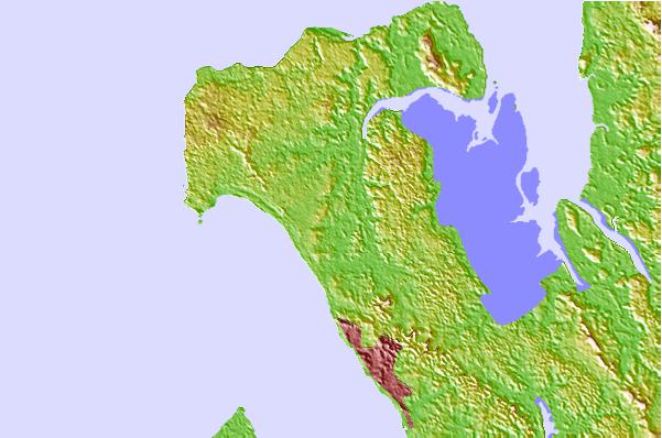
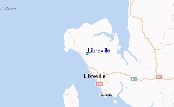
Use this relief map to navigate to tide stations, surf breaks and cities that are in the area of Libreville.
Other Nearby Locations' tide tables and tide charts to Libreville:
click location name for more details
 Surf breaks close to Libreville:
|
||
|---|---|---|
| Closest surf break | Gueque | 5 mi |
| Second closest surf break | Ferme aux Crocos | 8 mi |
| Third closest surf break | Ngombe | 16 mi |
| Fourth closest surf break | Palplanche | 92 mi |
| Fifth closest surf break | Cap Lopez | 93 mi |

 Nearest
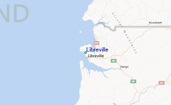