
| Distance / Altitude | Location | Report Date / Time | Live Weather | Wind | Gusts | Temp. | Visibility | Cloud |
|---|---|---|---|---|---|---|---|---|
| 2 km NNE / 3 m | BUOY-LTBV3 (Marine) | 2024-04-27 08:48 local (2024/04/27 12:48 GMT) | light winds from the ESE (9 km/h at 110) | 29°C | - | |||
| 5 km W / 163 m | Christiansted Airport (Virgin Islands) | 2024-04-27 07:53 local (2024/04/27 11:53 GMT) | Dry and partly cloudy | light winds from the ENE (11 km/h at 70) | — | 16 | broken | |
| 9 km NE / 3 m | BUOY-CHSV3 (Marine) | 2024-04-27 08:48 local (2024/04/27 12:48 GMT) | light winds from the E (8 km/h at 90) | 29°C | - | |||
| 10 km N / 30 m | Clairmont wx (U.S. Virgin Islands) | 2024-04-27 09:01 local (2024/04/27 13:01 GMT) | dry | light winds from the E (8 km/h at 97) | 28°C | - | - - 0 | |
| 57 km N / - m | SHIP10513 (ocean) | 2024-04-27 07:00 local (2024/04/27 11:00 GMT) | - | moderate winds from the E (22 km/h at 80) | 29°C | - | no observation |
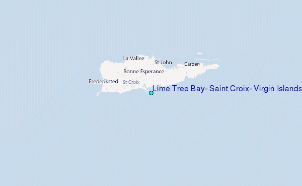
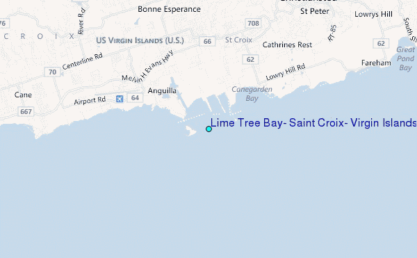
Choose Lime Tree Bay, Saint Croix, Virgin Islands Location Map Zoom:
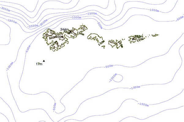
| Contours: | Roads & Rivers: | Select a
tide station / surf break / city |
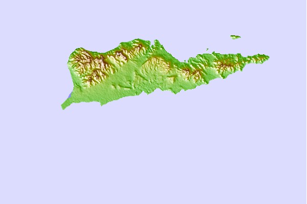
Use this relief map to navigate to tide stations, surf breaks and cities that are in the area of Lime Tree Bay, Saint Croix, Virgin Islands.
Other Nearby Locations' tide tables and tide charts to Lime Tree Bay, Saint Croix, Virgin Islands:
click location name for more details
 Surf breaks close to Lime Tree Bay, Saint Croix, Virgin Islands:
|
||
|---|---|---|
| Closest surf break | East Side | 47 mi |
| Second closest surf break | Hull Bay | 49 mi |
| Third closest surf break | Smugglers cove | 49 mi |
| Fourth closest surf break | Botany Bay | 50 mi |
| Fifth closest surf break | Capoons Bay - Bombas | 50 mi |

 Nearest
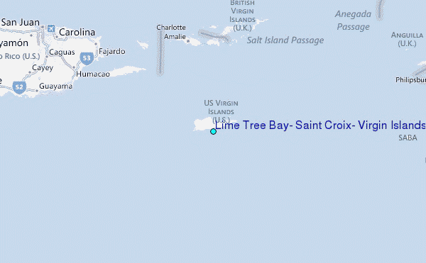