
| Distance / Altitude | Location | Report Date / Time | Live Weather | Wind | Gusts | Temp. | Visibility | Cloud |
|---|---|---|---|---|---|---|---|---|
| 133 km SSW / 293 m | Davao/Francisco Bangoy International Airport (Philippines) | 2024-05-02 19:00 local (2024/05/02 11:00 GMT) | Dry and partly cloudy | light winds from the W (11 km/h at 260) | 30°C | 10.0 | scattered broken broken | |
| 197 km N / 20 m | BRAVO SIARGAO (Philippines) | 2024-05-02 20:00 local (2024/05/02 12:00 GMT) | - | light winds from the ENE (17 km/h at 70) | 29°C | - | - - 0 | |
| 220 km SW / 48 m | Davao Airport (Philippines) | 2024-05-02 19:00 local (2024/05/02 11:00 GMT) | no report | light winds from the WSW (7 km/h at 240) | 33°C | 15 | - | |
| 254 km S / 15 m | General Santos International Airport (Paliparang Pandaigdig ng Heneral Santos) (Philippines) | 2024-05-02 19:00 local (2024/05/02 11:00 GMT) | haze | light winds from the ESE (7 km/h at 120) | 33°C | 20 | - | |
| 371 km W / 8 m | Dumaguete (Philippines) | 2024-05-02 19:00 local (2024/05/02 11:00 GMT) | Dry and partly cloudy | light winds from the WNW (7 km/h at 290) | 29°C | 10.0 | few broken |
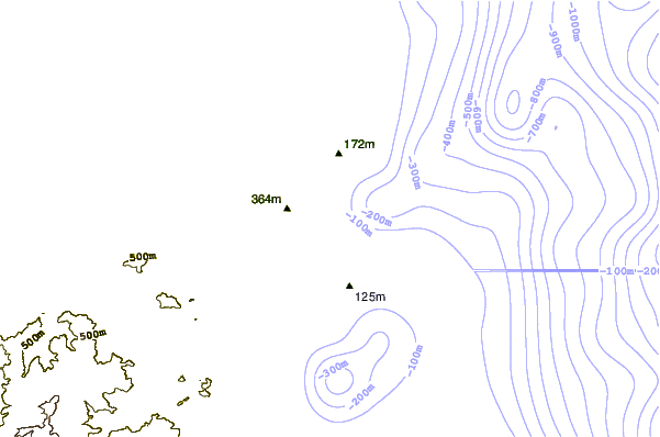
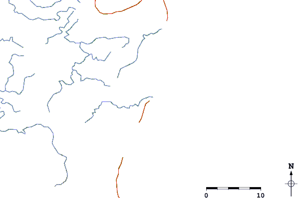
| Contours: | Roads & Rivers: | Select a
tide station / surf break / city |
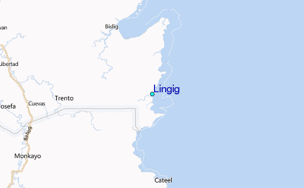
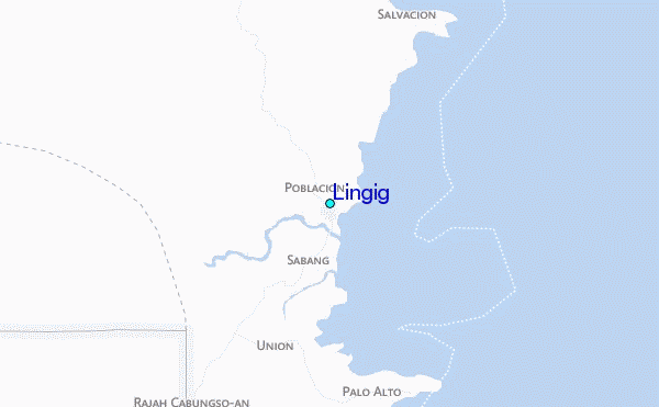
Use this relief map to navigate to tide stations, surf breaks and cities that are in the area of Lingig.
Other Nearby Locations' tide tables and tide charts to Lingig:
click location name for more details
 Surf breaks close to Lingig:
|
||
|---|---|---|
| Closest surf break | Tago River | 68 mi |
| Second closest surf break | Marami Beach | 75 mi |
| Third closest surf break | Big Star | 86 mi |
| Fourth closest surf break | Lanuza Rivermouth | 86 mi |
| Fifth closest surf break | Moshi-Moshi | 87 mi |

 Nearest
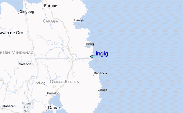