
| Distance / Altitude | Location | Report Date / Time | Live Weather | Wind | Gusts | Temp. | Visibility | Cloud |
|---|---|---|---|---|---|---|---|---|
| 45 km S / 3 m | Fairweather Grounds Buoy (Marine) | 2024-04-28 02:50 local (2024/04/28 10:50 GMT) | - (0 km/h at -) | 8°C | - | |||
| 74 km SE / 3 m | BUOY-CSXA2 (Marine) | 2024-04-28 03:03 local (2024/04/28 11:03 GMT) | moderate winds from the E (28 km/h at 80) | — | - | |||
| 74 km SE / 3 m | BUOY-CSPA2 (Marine) | 2024-04-28 02:10 local (2024/04/28 10:10 GMT) | moderate winds from the ENE (21 km/h at 70) | 8°C | - | |||
| 85 km ESE / 3 m | BUOY-GEXA2 (Marine) | 2024-04-28 03:03 local (2024/04/28 11:03 GMT) | moderate winds from the ENE (28 km/h at 70) | 9°C | - | |||
| 88 km ESE / 3 m | BUOY-ELFA2 (Marine) | 2024-04-28 02:48 local (2024/04/28 10:48 GMT) | - (- km/h at -) | — | - |
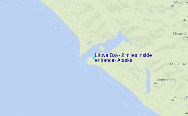
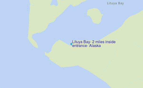
Choose Lituya Bay, 2 miles inside entrance, Alaska Location Map Zoom:
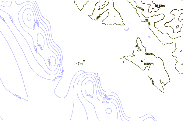
| Contours: | Roads & Rivers: | Select a
tide station / surf break / city |
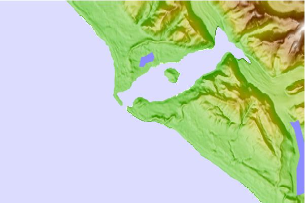
Use this relief map to navigate to tide stations, surf breaks and cities that are in the area of Lituya Bay, 2 miles inside entrance, Alaska.
Other Nearby Locations' tide tables and tide charts to Lituya Bay, 2 miles inside entrance, Alaska:
click location name for more details
 Surf breaks close to Lituya Bay, 2 miles inside entrance, Alaska:
|
||
|---|---|---|
| Closest surf break | Cannon Beach | 98 mi |
| Second closest surf break | Graveyards | 101 mi |
| Third closest surf break | Ocean Cape | 103 mi |
| Fourth closest surf break | Lepus Beach (Haida-Gwaii) | 354 mi |
| Fifth closest surf break | Tow Hill Beach | 385 mi |

 Nearest
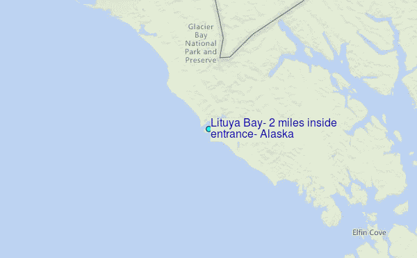