
| Distance / Altitude | Location | Report Date / Time | Live Weather | Wind | Gusts | Temp. | Visibility | Cloud |
|---|---|---|---|---|---|---|---|---|
| 116 km W / 211 m | Weno Island/Chuuk International Airport (Micronesia) | 2024-05-02 16:54 local (2024/05/02 06:54 GMT) | Dry and cloudy | light winds from the NE (13 km/h at 50) | 29°C | 24 | few scattered overcast | |
| 116 km W / 3 m | WeatherServiceOffice- Chuuk- Eci (Micronesia) | 2024-05-02 16:00 local (2024/05/02 06:00 GMT) | - | light winds from the NE (15 km/h at 40) | 30°C | 44 km | overcast | |
| 196 km SE / 3 m | LukunochAtoll-Caroline Islands (Micronesia) | 2024-05-02 16:00 local (2024/05/02 06:00 GMT) | - | light winds from the E (19 km/h at 80) | 29°C | 44 km | overcast | |
| 422 km SE / 4 m | NukuoroAtoll-Caroline Is. (Micronesia) | 2024-05-02 16:00 local (2024/05/02 06:00 GMT) | Light rain showers | light winds from the E (11 km/h at 80) | 27°C | 44 km | overcast | |
| 605 km E / 38 m | WeatherServiceOffice- Pohnpei- Caroline Is. (Micronesia) | 2024-05-02 16:00 local (2024/05/02 06:00 GMT) | State of sky unchanged | light winds from the E (6 km/h at 100) | 27°C | 44 km | overcast |
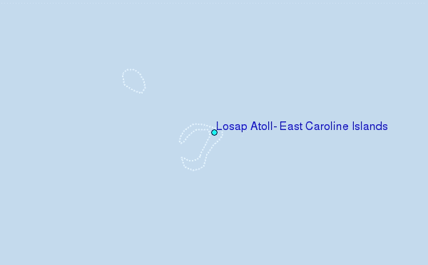
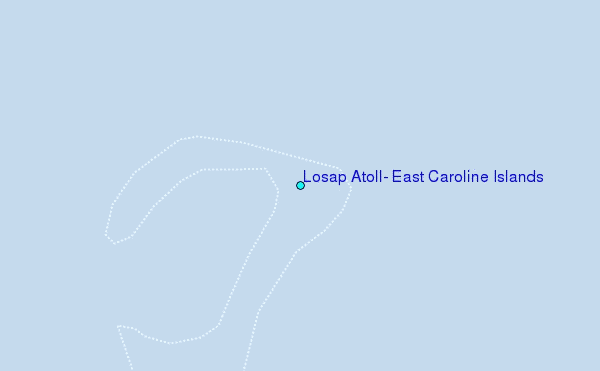
Choose Losap Atoll, East Caroline Islands Location Map Zoom:
| Contours: | Roads & Rivers: | Select a
tide station / surf break / city |
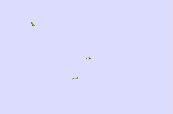
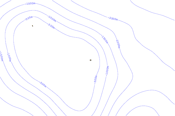
Use this relief map to navigate to tide stations, surf breaks and cities that are in the area of Losap Atoll, East Caroline Islands.
Other Nearby Locations' tide tables and tide charts to Losap Atoll, East Caroline Islands:
click location name for more details
 Surf breaks close to Losap Atoll, East Caroline Islands:
|
||
|---|---|---|
| Closest surf break | Simberi Island | 658 mi |
| Second closest surf break | Kavieng Rights | 667 mi |
| Third closest surf break | Nusa | 668 mi |
| Fourth closest surf break | Piccinniny | 669 mi |
| Fifth closest surf break | Long Long | 669 mi |

 Nearest
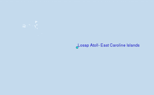