
| Distance / Altitude | Location | Report Date / Time | Live Weather | Wind | Gusts | Temp. | Visibility | Cloud |
|---|---|---|---|---|---|---|---|---|
| 58 km NE / 219 m | Dagupan (Luzon Island) (Philippines) | 2024-05-08 07:00 local (2024/05/07 23:00 GMT) | no report | light winds from the SE (11 km/h at 140) | 27°C | 8 | - scattered - | |
| 58 km NE / 219 m | Dagupan (Philippines) | 2024-05-08 08:00 local (2024/05/08 00:00 GMT) | Haze | light winds from the SE (7 km/h at 140) | 30°C | 32 km | scattered | |
| 92 km SE / 584 m | Angeles/Pampanga Airport (Philippines) | 2024-05-08 07:00 local (2024/05/07 23:00 GMT) | - | light winds from the S (7 km/h at 180) | 29°C | 10.0 | few | |
| 93 km ESE / 19 m | Santa Lucia wx (Philippines) | 2024-05-08 08:26 local (2024/05/08 00:26 GMT) | dry | calm (2 km/h at 279) | 30°C | - | - - 0 | |
| 106 km SSE / 452 m | Olongapo/Subic Bay Airport (Philippines) | 2024-05-08 07:00 local (2024/05/07 23:00 GMT) | - | light winds from the NE.(Wind varies from 360 to 060 degs) (6 km/h at 40) | 29°C | 10.0 | few |
| Contours: | Roads & Rivers: | Select a
tide station / surf break / city |
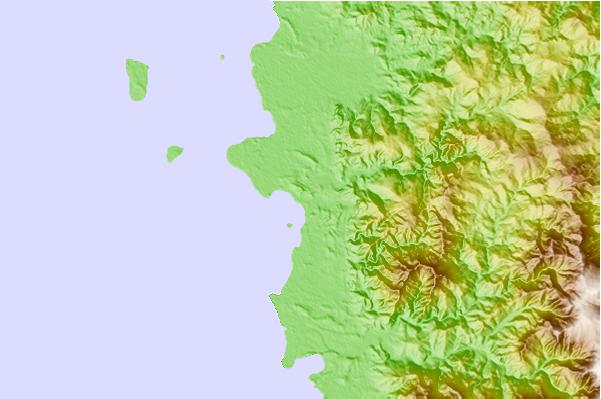
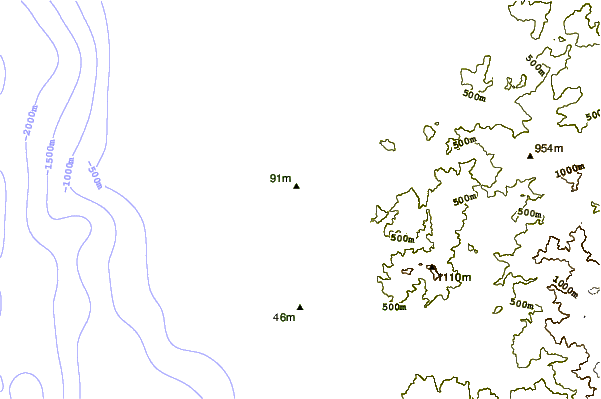
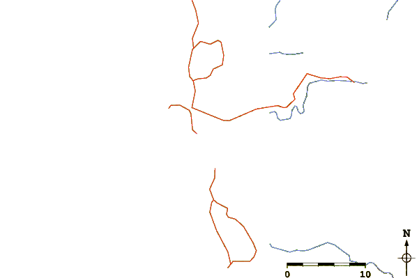
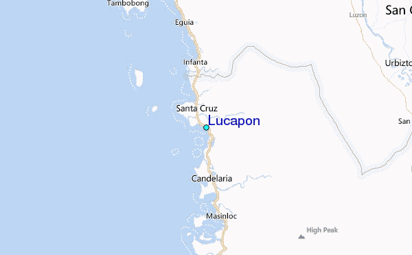
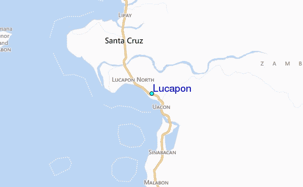
Use this relief map to navigate to tide stations, surf breaks and cities that are in the area of Lucapon.
Other Nearby Locations' tide tables and tide charts to Lucapon:
click location name for more details
 Surf breaks close to Lucapon:
|
||
|---|---|---|
| Closest surf break | Bauang | 64 mi |
| Second closest surf break | Poro Point | 67 mi |
| Third closest surf break | Car-rille | 68 mi |
| Fourth closest surf break | Mona Liza Point | 71 mi |
| Fifth closest surf break | San Juan | 71 mi |

 Nearest
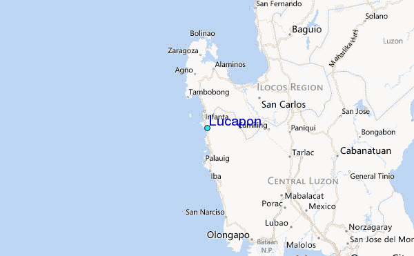