
| Distance / Altitude | Location | Report Date / Time | Live Weather | Wind | Gusts | Temp. | Visibility | Cloud |
|---|---|---|---|---|---|---|---|---|
| 191 km NE / 417 m | Zamboanga Airport (Philippines) | 2024-04-29 15:00 local (2024/04/29 07:00 GMT) | Haze | light winds from the W (18 km/h at 270) | 34°C | 30 km | few scattered - | |
| 306 km WSW / 129 m | Sandakan (Malaysia) | 2024-04-29 14:00 local (2024/04/29 06:00 GMT) | Clouds developing | light winds from the NE (17 km/h at 40) | 33°C | 34 km | - mostly cloudy - | |
| 306 km WSW / 215 m | Sandakan Airport (Malaysia) | 2024-04-29 15:00 local (2024/04/29 07:00 GMT) | - | light winds from the NNE.(Wind varies from 360 to 070 degs) (17 km/h at 30) | 32°C | 10.0 | few few | |
| 363 km SW / 130 m | Tawau (Malaysia) | 2024-04-29 14:00 local (2024/04/29 06:00 GMT) | Continuous light rain | calm (0 km/h at 210) | 30°C | 32 km | mostly cloudy | |
| 364 km SW / 215 m | Tawau/Kalimantan Airport (Malaysia) | 2024-04-29 15:00 local (2024/04/29 07:00 GMT) | - | calm (0 km/h at 0) | 31°C | 10.0 | few |

| Contours: | Roads & Rivers: | Select a
tide station / surf break / city |
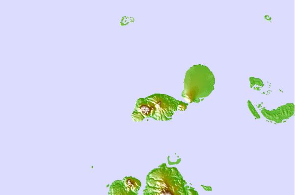
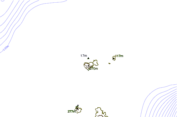

Use this relief map to navigate to tide stations, surf breaks and cities that are in the area of Lugus.
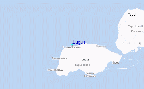
Other Nearby Locations' tide tables and tide charts to Lugus:
click location name for more details
 Surf breaks close to Lugus:
|
||
|---|---|---|
| Closest surf break | Kudat (Pantai Kosuhui) | 295 mi |
| Second closest surf break | Kota Belud | 306 mi |
| Third closest surf break | Shabandar | 321 mi |
| Fourth closest surf break | Nexus | 325 mi |
| Fifth closest surf break | Nexus West End | 326 mi |

 Nearest
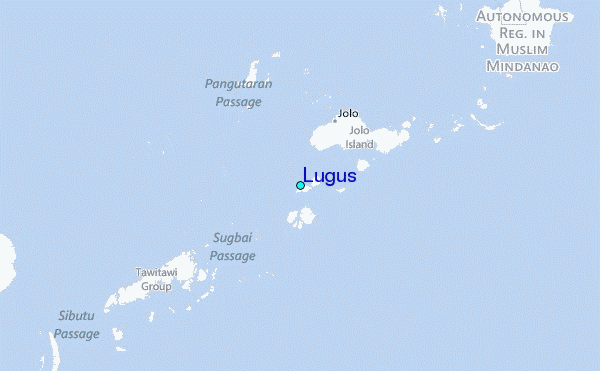