
| Distance / Altitude | Location | Report Date / Time | Live Weather | Wind | Gusts | Temp. | Visibility | Cloud |
|---|---|---|---|---|---|---|---|---|
| 10 km WNW / 3 m | BUOY-JCRN4 (Marine) | 2024-04-28 11:30 local (2024/04/28 15:30 GMT) | light winds from the SSW (8 km/h at 200) | 20°C | - | |||
| 14 km S / 3 m | BUOY-ACYN4 (Marine) | 2024-04-28 12:00 local (2024/04/28 16:00 GMT) | - (- km/h at -) | 12°C | - | |||
| 17 km WSW / 217 m | Atlantic City Airport (New Jersey) | 2024-04-28 11:25 local (2024/04/28 15:25 GMT) | Dry and partly cloudy | light winds from the WSW (6 km/h at 240) | 19°C | 16 | scattered | |
| 51 km N / 25 m | Toms River (New jersey) | 2024-04-28 11:17 local (2024/04/28 15:17 GMT) | Dry and partly cloudy | light winds from the WSW (11 km/h at 240) | 19°C | 16 | scattered | |
| 54 km NNE / 4 m | Seaside Park- NJ (United States) | 2024-04-28 12:00 local (2024/04/28 16:00 GMT) | - | fresh winds from the S (37 km/h at 171) | 16°C | - | - - 0 |
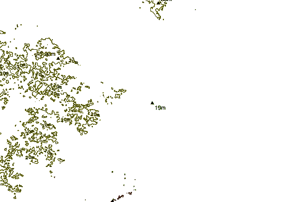
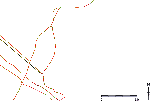
| Contours: | Roads & Rivers: | Select a
tide station / surf break / city |
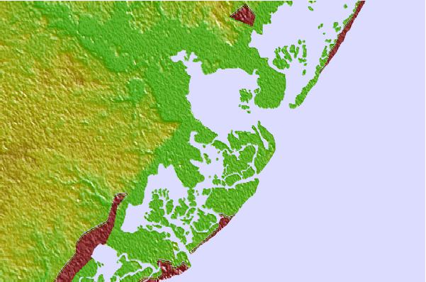
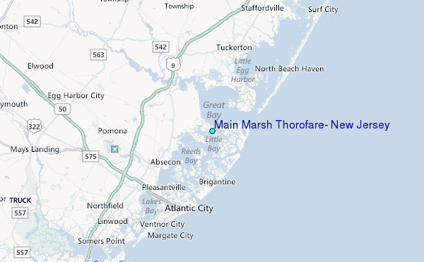
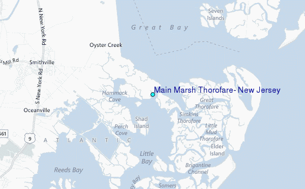
Use this relief map to navigate to tide stations, surf breaks and cities that are in the area of Main Marsh Thorofare, New Jersey.
Other Nearby Locations' tide tables and tide charts to Main Marsh Thorofare, New Jersey:
click location name for more details
 Surf breaks close to Main Marsh Thorofare, New Jersey:
|
||
|---|---|---|
| Closest surf break | Kirbys Point | 4 mi |
| Second closest surf break | Castles | 5 mi |
| Third closest surf break | The Castle | 5 mi |
| Fourth closest surf break | The South Jetty | 6 mi |
| Fifth closest surf break | 38th St Beach | 6 mi |

 Nearest
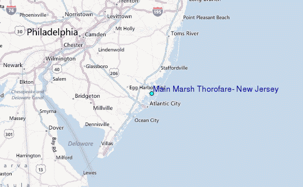