
| Distance / Altitude | Location | Report Date / Time | Live Weather | Wind | Gusts | Temp. | Visibility | Cloud |
|---|---|---|---|---|---|---|---|---|
| 76 km E / 15 m | General Santos International Airport (Paliparang Pandaigdig ng Heneral Santos) (Philippines) | 2024-04-27 15:00 local (2024/04/27 07:00 GMT) | haze | light winds from the SSE (18 km/h at 160) | 34°C | 20 | - - - | |
| 120 km N / 48 m | Davao Airport (Philippines) | 2024-04-27 15:00 local (2024/04/27 07:00 GMT) | light to moderate thunderstorm | light winds from the SSW (14 km/h at 200) | 33°C | 15 | - | |
| 128 km NW / 53 m | Cotabato-Mindanao (Philippines) | 2024-04-27 15:00 local (2024/04/27 07:00 GMT) | state of sky unchanged | light winds from the NW (14 km/h at 320) | 34°C | 12 | - - - | |
| 174 km NE / 293 m | Davao/Francisco Bangoy International Airport (Philippines) | 2024-04-27 15:00 local (2024/04/27 07:00 GMT) | Dry and partly cloudy | light winds from the E (7 km/h at 80) | 28°C | 10.0 | scattered broken broken | |
| 242 km NNE / 892 m | Malaybalay (Philippines) | 2024-04-27 15:00 local (2024/04/27 07:00 GMT) | no report | light winds from the ESE (7 km/h at 120) | 35°C | 20 | - |
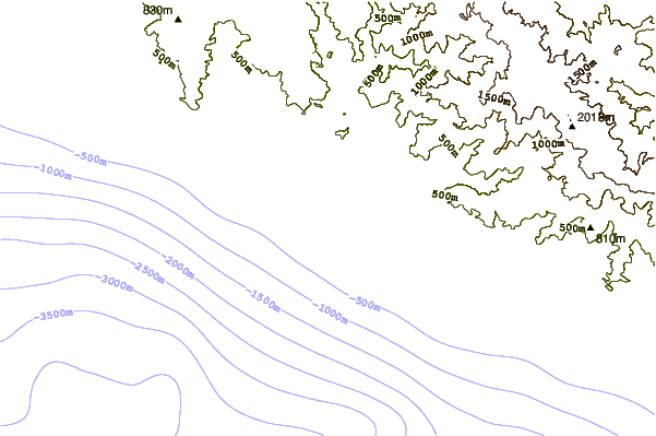
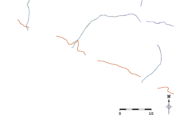
| Contours: | Roads & Rivers: | Select a
tide station / surf break / city |
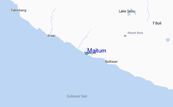
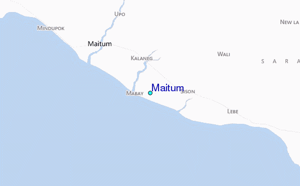
Use this relief map to navigate to tide stations, surf breaks and cities that are in the area of Maitum.
Other Nearby Locations' tide tables and tide charts to Maitum:
click location name for more details
 Surf breaks close to Maitum:
|
||
|---|---|---|
| Closest surf break | Tago River | 238 mi |
| Second closest surf break | Marami Beach | 240 mi |
| Third closest surf break | Lanuza Rivermouth | 245 mi |
| Fourth closest surf break | Random Beach Break | 247 mi |
| Fifth closest surf break | Big Star | 248 mi |

 Nearest
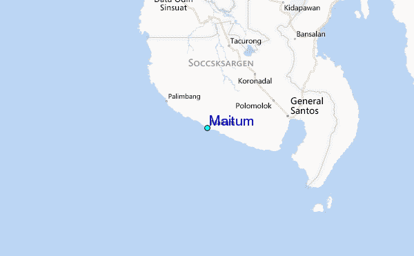