
| Distance / Altitude | Location | Report Date / Time | Live Weather | Wind | Gusts | Temp. | Visibility | Cloud |
|---|---|---|---|---|---|---|---|---|
| 53 km WNW / 16 m | Mamacona wx (Peru) | 2024-05-01 16:48 local (2024/05/01 21:48 GMT) | - | calm (2 km/h at 190) | — | - | - - 0 | |
| 55 km WNW / 24 m | Mamacona wx (Peru) | 2024-05-01 16:47 local (2024/05/01 21:47 GMT) | dry | calm (2 km/h at 190) | — | - | - - 0 | |
| 73 km NW / 361 m | La Molina wx (Peru) | 2024-05-01 16:30 local (2024/05/01 21:30 GMT) | - | calm (0 km/h at 71) | 28°C | - | - - 0 | |
| 88 km WNW / 34 m | Lima Jorge Chávez International Airport (Peru) | 2024-05-01 16:00 local (2024/05/01 21:00 GMT) | Dry and partly cloudy | moderate winds from the SSE (26 km/h at 160) | 21°C | 8.0 | broken | |
| 127 km SSE / 211 m | Pisco Airport (Peru) | 2024-05-01 16:00 local (2024/05/01 21:00 GMT) | State of sky unchanged | fresh winds from the SSW (35 km/h at 210) | — | 0.0 | - clear - |
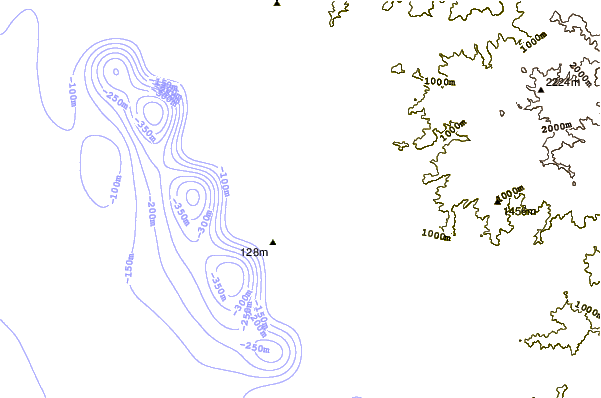
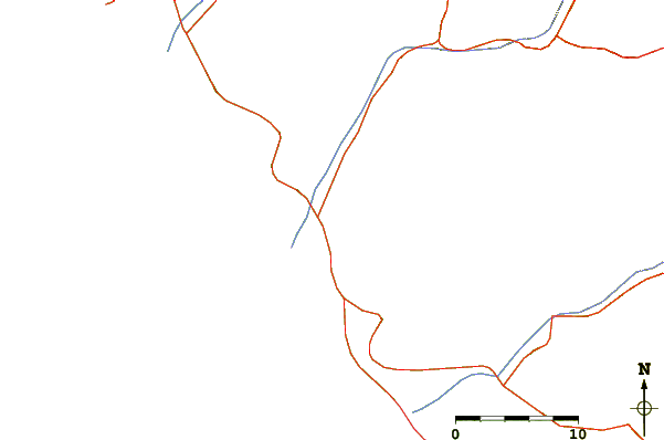
| Contours: | Roads & Rivers: | Select a
tide station / surf break / city |
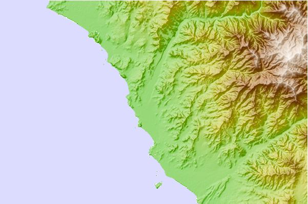
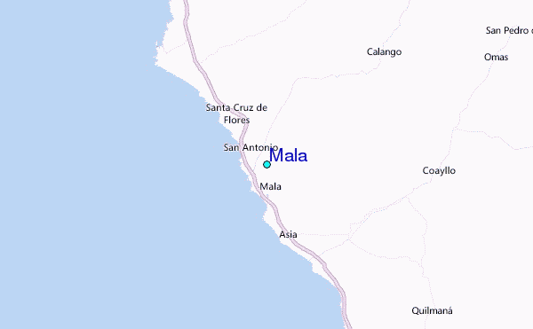
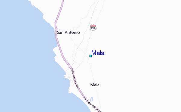
Use this relief map to navigate to tide stations, surf breaks and cities that are in the area of Mala.
Other Nearby Locations' tide tables and tide charts to Mala:
click location name for more details
 Surf breaks close to Mala:
|
||
|---|---|---|
| Closest surf break | La Costa | 2 mi |
| Second closest surf break | Ensenada | 3 mi |
| Third closest surf break | Totoritas | 3 mi |
| Fourth closest surf break | Puerto Viejo | 7 mi |
| Fifth closest surf break | Playa Blanca | 7 mi |

 Nearest
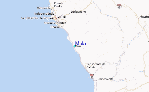