
| Distance / Altitude | Location | Report Date / Time | Live Weather | Wind | Gusts | Temp. | Visibility | Cloud |
|---|---|---|---|---|---|---|---|---|
| 113 km NNE / 5 m | Dipolog Mindanao Island (Philippines) | 2024-05-07 12:00 local (2024/05/07 04:00 GMT) | no report | light winds from the ENE (11 km/h at 70) | 34°C | 34 km | - scattered - | |
| 134 km SSW / 417 m | Zamboanga Airport (Philippines) | 2024-05-07 11:00 local (2024/05/07 03:00 GMT) | Haze | light winds from the ESE (7 km/h at 110) | 34°C | 30 km | few mostly cloudy - | |
| 141 km ESE / 53 m | Cotabato-Mindanao (Philippines) | 2024-05-07 12:00 local (2024/05/07 04:00 GMT) | state of sky unchanged | light winds from the E (11 km/h at 90) | 34°C | 12 | - scattered - | |
| 187 km ESE / 48 m | Davao Airport (Philippines) | 2024-05-07 12:00 local (2024/05/07 04:00 GMT) | no report | light winds from the NE (14 km/h at 40) | 31°C | 35 km | - scattered - | |
| 187 km N / 8 m | Dumaguete (Philippines) | 2024-05-07 12:00 local (2024/05/07 04:00 GMT) | no report | light winds from the ENE (18 km/h at 70) | 32°C | 15 | - scattered - |
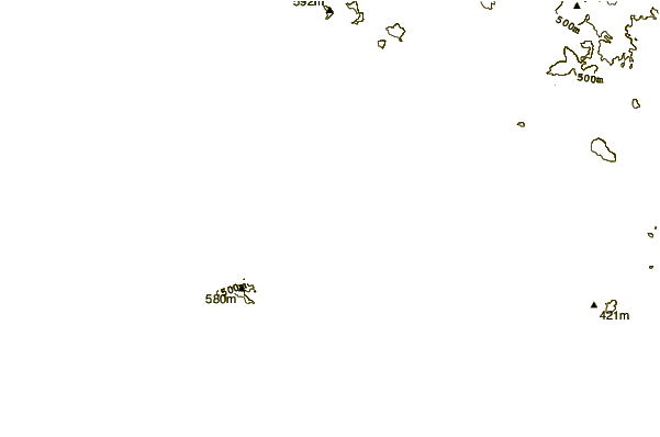
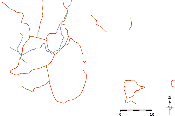
| Contours: | Roads & Rivers: | Select a
tide station / surf break / city |
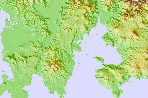
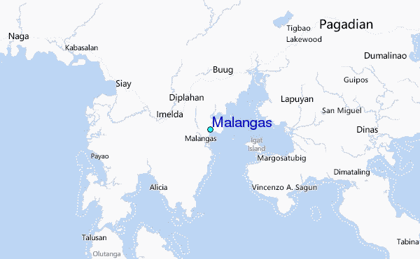
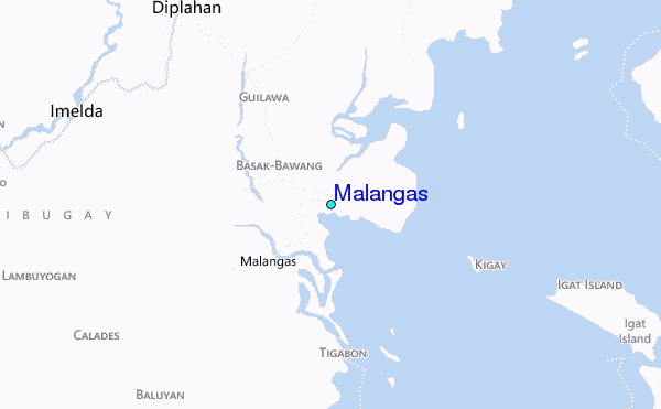
Use this relief map to navigate to tide stations, surf breaks and cities that are in the area of Malangas.
Other Nearby Locations' tide tables and tide charts to Malangas:
click location name for more details
 Surf breaks close to Malangas:
|
||
|---|---|---|
| Closest surf break | Random Beach Break | 233 mi |
| Second closest surf break | Lanuza Rivermouth | 235 mi |
| Third closest surf break | Marami Beach | 237 mi |
| Fourth closest surf break | Big Star | 238 mi |
| Fifth closest surf break | Ayoke - Tinago | 239 mi |

 Nearest
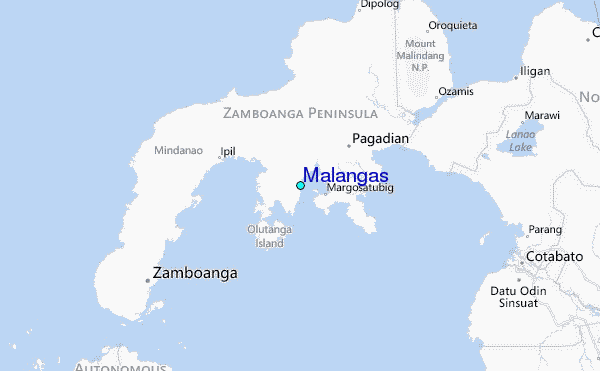