
| Distance / Altitude | Location | Report Date / Time | Live Weather | Wind | Gusts | Temp. | Visibility | Cloud |
|---|---|---|---|---|---|---|---|---|
| 182 km S / 208 m | Majuro Atoll Airport (Marshall Islands) | 2024-04-28 04:55 local (2024/04/27 16:55 GMT) | Dry and cloudy | light winds from the ENE (15 km/h at 70) | 27°C | 24 | scattered broken overcast | |
| 183 km S / 4 m | MajuroMarshallIs.Intnl. (Marshall Islands) | 2024-04-28 06:00 local (2024/04/27 18:00 GMT) | State of sky unchanged | light winds from the E (7 km/h at 80) | 27°C | 44 km | overcast | |
| 183 km S / 3 m | Kalo- Majuro- Marshall Islands (Marine) | 2024-04-28 06:00 local (2024/04/27 18:00 GMT) | - (- km/h at -) | — | - | |||
| 385 km WSW / 215 m | Kwajalein/buchol Airport (Marshall Islands) | 2024-04-28 05:40 local (2024/04/27 17:40 GMT) | Dry and partly cloudy | moderate winds from the NE (26 km/h at 50) | 28°C | 16 | scattered scattered scattered | |
| 385 km WSW / 3 m | BUOY-KWJP8 (Marine) | 2024-04-28 06:00 local (2024/04/27 18:00 GMT) | - (- km/h at -) | — | - |
| Contours: | Roads & Rivers: | Select a
tide station / surf break / city |

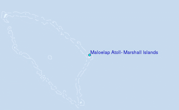
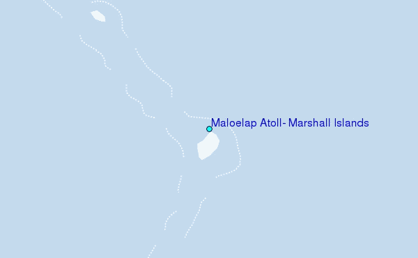
Use this relief map to navigate to tide stations, surf breaks and cities that are in the area of Maloelap Atoll, Marshall Islands.
Other Nearby Locations' tide tables and tide charts to Maloelap Atoll, Marshall Islands:
click location name for more details
 Surf breaks close to Maloelap Atoll, Marshall Islands:
|
||
|---|---|---|
| Closest surf break | Naa | 503 mi |
| Second closest surf break | Sidedish | 615 mi |
| Third closest surf break | Walung | 617 mi |
| Fourth closest surf break | Lavata | 1525 mi |
| Fifth closest surf break | Kundu Kundu | 1525 mi |

 Nearest
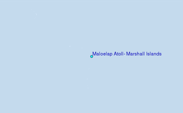