
| Distance / Altitude | Location | Report Date / Time | Live Weather | Wind | Gusts | Temp. | Visibility | Cloud |
|---|---|---|---|---|---|---|---|---|
| 282 km NW / 1388 m | Antananarivo/Ivato Airport (Comoros) | 2024-05-02 01:30 local (2024/05/01 22:30 GMT) | Dry and partly cloudy | light winds from the E (6 km/h at 100) | 18°C | 10.0 | few broken | |
| 360 km NNE / 195 m | Tamatave/Toamasina Airport (Comoros) | 2024-05-02 01:00 local (2024/05/01 22:00 GMT) | Shower - in the vicinity | calm (0 km/h at 0) | 23°C | 10.0 | scattered broken | |
| 444 km S / 546 m | Tôlanaro/Marillac Airport (Comoros) | 2024-05-02 01:00 local (2024/05/01 22:00 GMT) | - | calm (0 km/h at 0) | — | 0.0 | ||
| 449 km S / 41 m | 1157 (Madagascar) | 2024-05-02 02:00 local (2024/05/01 23:00 GMT) | - | light winds from the WNW (11 km/h at 284) | 23°C | - | - - 0 | |
| 649 km NW / 194 m | Majunga/Mahajanga Airport (Comoros) | 2024-05-02 01:00 local (2024/05/01 22:00 GMT) | Dry and partly cloudy | light winds from the ESE (7 km/h at 120) | 27°C | 10.0 | few scattered |
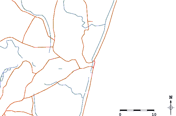
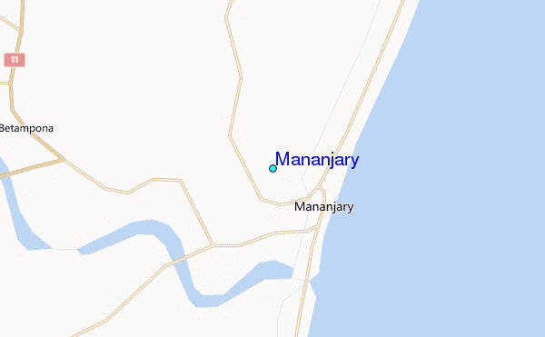
| Contours: | Roads & Rivers: | Select a
tide station / surf break / city |
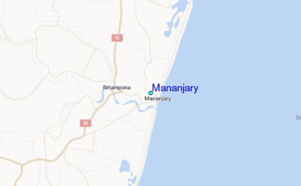
Use this relief map to navigate to tide stations, surf breaks and cities that are in the area of Mananjary.
Other Nearby Locations' tide tables and tide charts to Mananjary:
click location name for more details
 Surf breaks close to Mananjary:
|
||
|---|---|---|
| Closest surf break | Manafiafy | 257 mi |
| Second closest surf break | Lokaro Island | 270 mi |
| Third closest surf break | Evatra | 272 mi |
| Fourth closest surf break | Fort Dauphin | 276 mi |
| Fifth closest surf break | Libanona Beach | 277 mi |

 Nearest
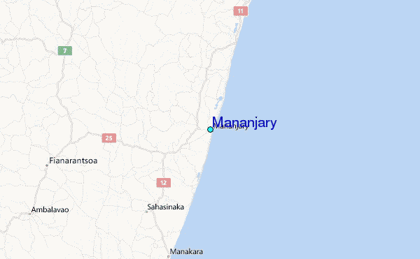