
| Distance / Altitude | Location | Report Date / Time | Live Weather | Wind | Gusts | Temp. | Visibility | Cloud |
|---|---|---|---|---|---|---|---|---|
| 49 km N / 15 m | SHIP6053 (Marine) | 2024-05-05 12:00 local (2024/05/05 16:00 GMT) | - (- km/h at -) | — | - km | |||
| 85 km SE / 208 m | Holguin Airport (Cuba) | 2024-05-05 11:50 local (2024/05/05 15:50 GMT) | Dry and partly cloudy | moderate winds from the ENE.(Wind varies from 040 to 100 degs) (24 km/h at 70) | 30°C | 9.0 | few broken | |
| 106 km WSW / 212 m | Camaguey/Ignacio Agramonte Internationa Airport (Cuba) | 2024-05-05 11:50 local (2024/05/05 15:50 GMT) | Dry and partly cloudy | moderate winds from the NE.(Wind varies from 020 to 090 degs) (24 km/h at 40) | 30°C | 9.0 | broken | |
| 49 km N / 3 m | SHIP1475 (Marine) | 2024-05-05 12:00 local (2024/05/05 16:00 GMT) | - (- km/h at -) | 27°C | - | |||
| 80 km NW / 3 m | SHIP491 (Marine) | 2024-05-05 11:00 local (2024/05/05 15:00 GMT) | - (- km/h at -) | 27°C | - |
| Contours: | Roads & Rivers: | Select a
tide station / surf break / city |
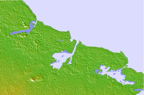
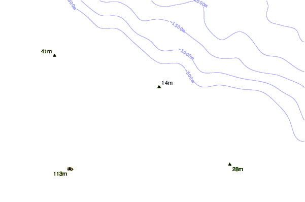
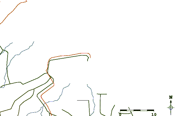
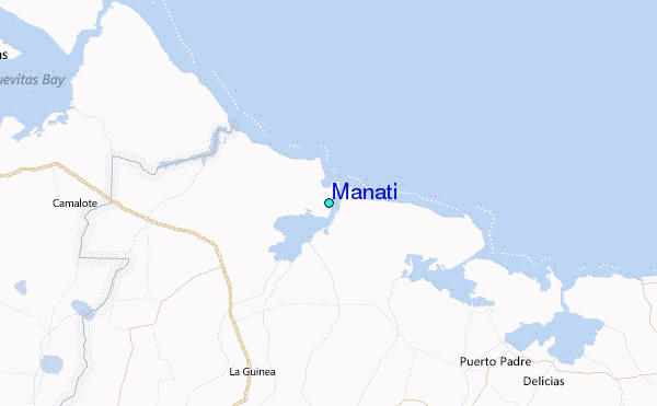
Use this relief map to navigate to tide stations, surf breaks and cities that are in the area of Manati.
Other Nearby Locations' tide tables and tide charts to Manati:
click location name for more details
 Surf breaks close to Manati:
|
||
|---|---|---|
| Closest surf break | Runaway Bay | 203 mi |
| Second closest surf break | Discovery Bay | 204 mi |
| Third closest surf break | Peenie Wally | 218 mi |
| Fourth closest surf break | Navy Island | 221 mi |
| Fifth closest surf break | Winnifred Beach | 223 mi |

 Nearest
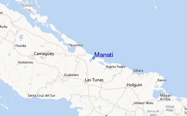