
| Distance / Altitude | Location | Report Date / Time | Live Weather | Wind | Gusts | Temp. | Visibility | Cloud |
|---|---|---|---|---|---|---|---|---|
| 44 km S / 44 m | Puysegur Point Aws (New Zealand) | 2024-05-02 13:00 local (2024/05/02 01:00 GMT) | no report | moderate winds from the W (20 km/h at 270) | 11°C | - | - no observation - | |
| 67 km NNE / 19 m | Secretary Island Aws (New Zealand) | 2024-05-02 12:00 local (2024/05/02 00:00 GMT) | no report | light winds from the W (13 km/h at 270) | 10°C | - | - no observation - | |
| 79 km W / 15 m | ASCATC166E45S (Marine) | 2024-05-02 10:33 local (2024/05/01 22:33 GMT) | strong winds from the SW (42 km/h at 223) | — | - km | |||
| 94 km N / 15 m | ASCATC167E45S (Marine) | 2024-05-02 10:32 local (2024/05/01 22:32 GMT) | strong winds from the SW (41 km/h at 221) | — | - km | |||
| 108 km SSW / 15 m | ASCATC166E46S (Marine) | 2024-05-02 10:33 local (2024/05/01 22:33 GMT) | strong winds from the WSW (42 km/h at 238) | — | - km |
| Contours: | Roads & Rivers: | Select a
tide station / surf break / city |
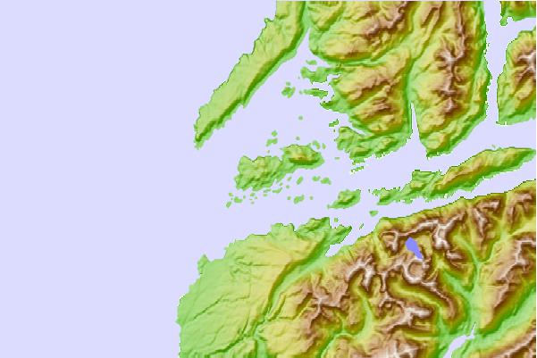
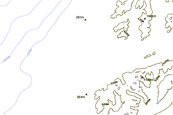
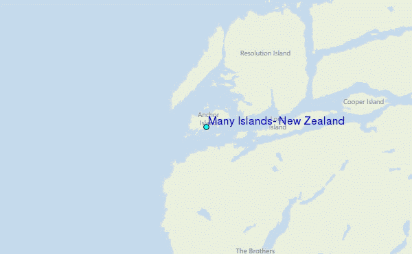
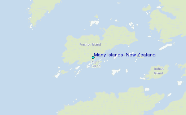
Use this relief map to navigate to tide stations, surf breaks and cities that are in the area of Many Islands, New Zealand.
Other Nearby Locations' tide tables and tide charts to Many Islands, New Zealand:
click location name for more details
 Surf breaks close to Many Islands, New Zealand:
|
||
|---|---|---|
| Closest surf break | Bluecliffs | 51 mi |
| Second closest surf break | Frentzes | 68 mi |
| Third closest surf break | Porridge | 70 mi |
| Fourth closest surf break | Beatons | 71 mi |
| Fifth closest surf break | Colac Bay | 78 mi |

 Nearest
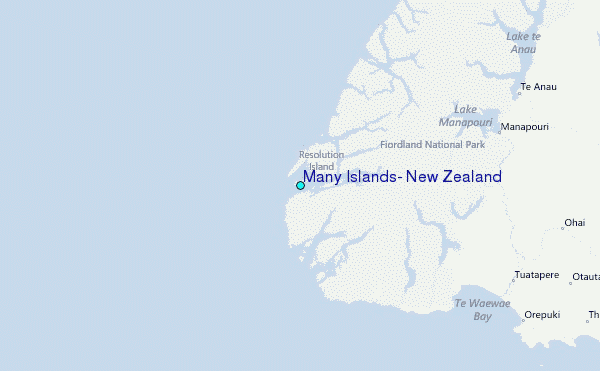