
| Distance / Altitude | Location | Report Date / Time | Live Weather | Wind | Gusts | Temp. | Visibility | Cloud |
|---|---|---|---|---|---|---|---|---|
| 24 km WNW / 216 m | Kuala Trengganu Airport (Malaysia) | 2024-04-27 19:00 local (2024/04/27 11:00 GMT) | - | calm (4 km/h at 1) | 32°C | 10.0 | few | |
| 24 km NW / 6 m | Kuala Trengganu (Malaysia) | 2024-04-27 19:00 local (2024/04/27 11:00 GMT) | lightning visible, no thunder heard | calm (4 km/h at 110) | 31°C | 12 | - | |
| 78 km SSE / 5 m | Kerteh (Malaysia) | 2024-04-27 19:00 local (2024/04/27 11:00 GMT) | - | calm (4 km/h at 1) | 31°C | 10.0 | few | |
| 149 km WNW / 5 m | Kota Bharu (Malaysia) | 2024-04-27 19:00 local (2024/04/27 11:00 GMT) | no report | light winds from the E (9 km/h at 100) | 30°C | 12 | - | |
| 150 km WNW / 215 m | Kota Bharu/Sultan Ismail Petra Airport (Malaysia) | 2024-04-27 19:00 local (2024/04/27 11:00 GMT) | - | light winds from the E.(Wind varies from 060 to 120 degs) (15 km/h at 80) | 31°C | 10.0 | few |

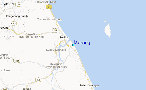
| Contours: | Roads & Rivers: | Select a
tide station / surf break / city |
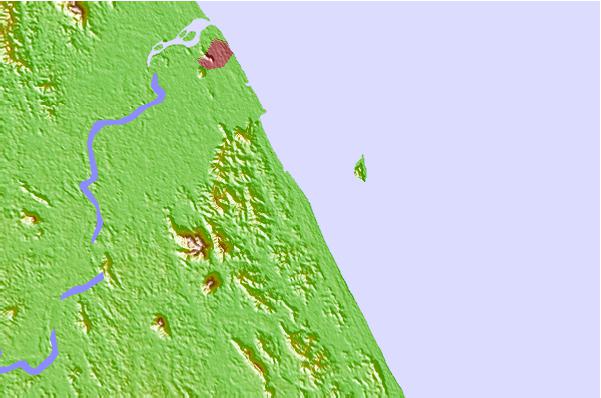
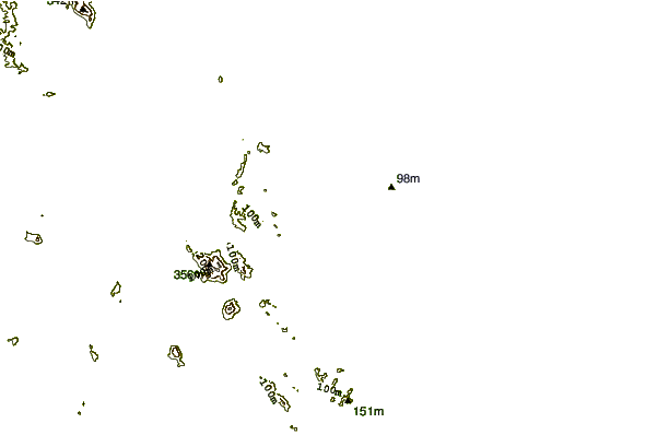
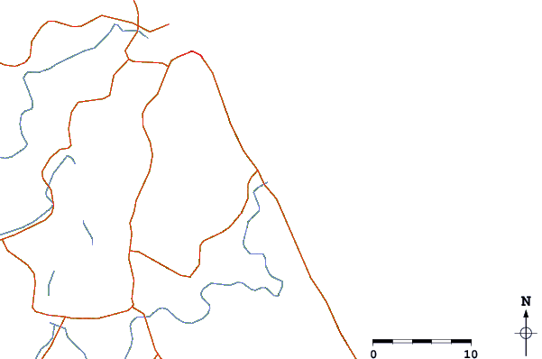
Use this relief map to navigate to tide stations, surf breaks and cities that are in the area of Marang.
Other Nearby Locations' tide tables and tide charts to Marang:
click location name for more details
 Surf breaks close to Marang:
|
||
|---|---|---|
| Closest surf break | Kelulut (Marang) | 2 mi |
| Second closest surf break | Batu Buruk | 10 mi |
| Third closest surf break | Kijal | 62 mi |
| Fourth closest surf break | Cherating | 75 mi |
| Fifth closest surf break | Tioman Island | 180 mi |

 Nearest
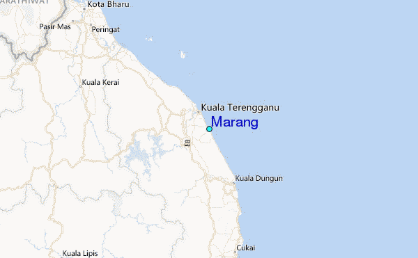