
| Distance / Altitude | Location | Report Date / Time | Live Weather | Wind | Gusts | Temp. | Visibility | Cloud |
|---|---|---|---|---|---|---|---|---|
| 40 km W / 271 m | Amendola Air Force Base Airport (Italy) | 2024-04-29 07:55 local (2024/04/29 05:55 GMT) | - | light winds from the W (11 km/h at 280) | — | 0.0 | ||
| 41 km NW / 848 m | Monte S. Angelo (Italy) | 2024-04-29 08:00 local (2024/04/29 06:00 GMT) | no report | light winds from the ENE (11 km/h at 60) | 16°C | 45 km | - clear - | |
| 41 km W / 60 m | Amendola (Italy) | 2024-04-29 09:00 local (2024/04/29 07:00 GMT) | no report | light winds from the WNW (13 km/h at 290) | 17°C | 25 | - clear - | |
| 53 km WSW / 468 m | Foggia/Gino Lisa Airport (Italy) | 2024-04-29 07:50 local (2024/04/29 05:50 GMT) | - | light winds from the WNW (13 km/h at 290) | — | 0.0 | ||
| 58 km ESE / 49 m | Bari/Palese (Italy) | 2024-04-29 08:00 local (2024/04/29 06:00 GMT) | no report | light winds from the NNW (9 km/h at 330) | 18°C | 30 | - clear - |
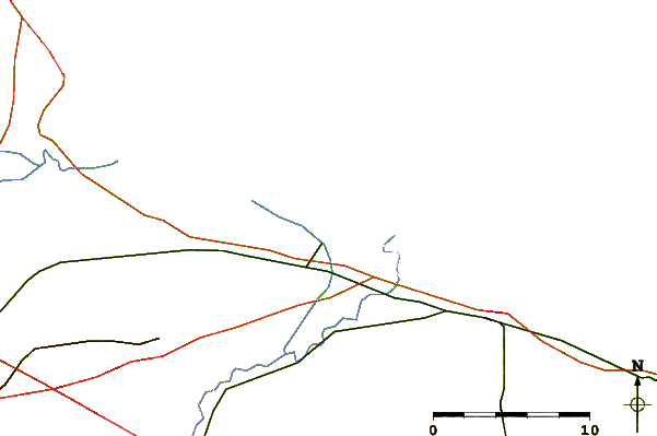
| Contours: | Roads & Rivers: | Select a
tide station / surf break / city |
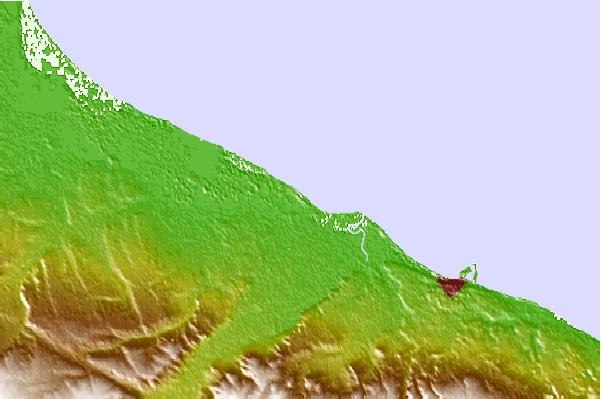

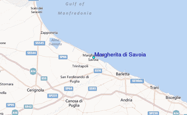
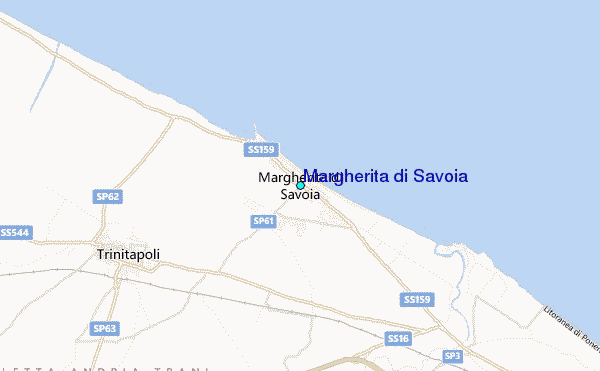
Use this relief map to navigate to tide stations, surf breaks and cities that are in the area of Margherita di Savoia.
Other Nearby Locations' tide tables and tide charts to Margherita di Savoia:
click location name for more details
 Surf breaks close to Margherita di Savoia:
|
||
|---|---|---|
| Closest surf break | Capo Vieste | 37 mi |
| Second closest surf break | Saraceno | 91 mi |
| Third closest surf break | Curvone | 98 mi |
| Fourth closest surf break | Fossacesia Marina | 104 mi |
| Fifth closest surf break | Lido Pola or Nisida (Naples) | 111 mi |

 Nearest
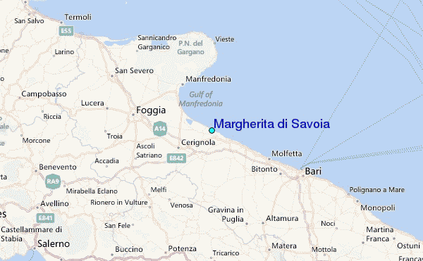