
| Distance / Altitude | Location | Report Date / Time | Live Weather | Wind | Gusts | Temp. | Visibility | Cloud |
|---|---|---|---|---|---|---|---|---|
| 3 km ENE / 4 m | Marshfield Airport (Massachusetts) | 2024-04-28 09:35 local (2024/04/28 13:35 GMT) | Dry and cloudy | moderate winds from the SSW (22 km/h at 210) | 11°C | 16 | broken overcast | |
| 11 km NW / 31 m | Scituate (Massachusetts) | 2024-04-28 10:03 local (2024/04/28 14:03 GMT) | dry | light winds from the WSW (6 km/h at 239) | 13°C | - | - - 0 | |
| 14 km NW / 40 m | Scituate Center wx (United States) | 2024-04-28 10:39 local (2024/04/28 14:39 GMT) | dry | light winds from the SSW (10 km/h at 201) | 12°C | - | - - 0 | |
| 15 km W / 37 m | North Hanover wx (United States) | 2024-04-28 10:49 local (2024/04/28 14:49 GMT) | dry | light winds from the WSW (11 km/h at 253) | 12°C | - | - - 0 | |
| 20 km S / 209 m | Plymouth Airport (Massachusetts) | 2024-04-28 08:52 local (2024/04/28 12:52 GMT) | Dry and cloudy | light winds from the SW (15 km/h at 220) | 10°C | 16 | overcast |
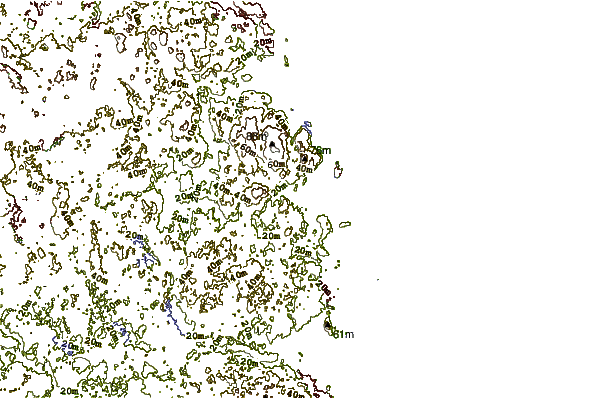
| Contours: | Roads & Rivers: | Select a
tide station / surf break / city |
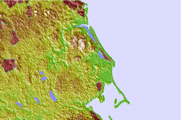
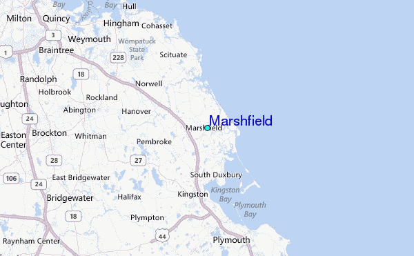
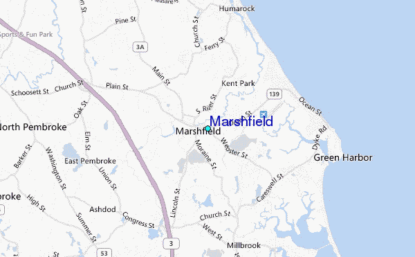
Use this relief map to navigate to tide stations, surf breaks and cities that are in the area of Marshfield.
Other Nearby Locations' tide tables and tide charts to Marshfield:
click location name for more details
 Surf breaks close to Marshfield:
|
||
|---|---|---|
| Closest surf break | Brant Rock | 3 mi |
| Second closest surf break | Fieldstone | 3 mi |
| Third closest surf break | Green Harbor | 3 mi |
| Fourth closest surf break | Marshfield Jetty | 4 mi |
| Fifth closest surf break | Rexham | 4 mi |

 Nearest
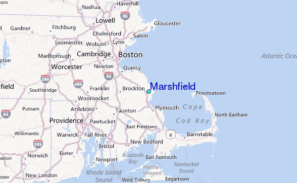