
| Distance / Altitude | Location | Report Date / Time | Live Weather | Wind | Gusts | Temp. | Visibility | Cloud |
|---|---|---|---|---|---|---|---|---|
| 79 km ESE / 584 m | Angeles/Pampanga Airport (Philippines) | 2024-04-28 04:00 local (2024/04/27 20:00 GMT) | - | calm (4 km/h at 340) | 28°C | 10.0 | few | |
| 89 km SSE / 452 m | Olongapo/Subic Bay Airport (Philippines) | 2024-04-28 04:00 local (2024/04/27 20:00 GMT) | - | light winds from the NE (7 km/h at 50) | 28°C | 10.0 | few | |
| 108 km SSE / 15 m | SHIP2249 (Marine) | 2024-04-28 05:00 local (2024/04/27 21:00 GMT) | - (- km/h at -) | — | - km | |||
| 154 km SE / 26 m | Quezon City (Åland) | 2024-04-28 04:06 local (2024/04/27 20:06 GMT) | dry | calm (0 km/h at 171) | 30°C | - | - - 0 | |
| 155 km SE / 215 m | Sangley Point (Philippines) | 2024-04-28 04:00 local (2024/04/27 20:00 GMT) | no report | light winds from the E (11 km/h at 90) | 30°C | 10 | - scattered - |
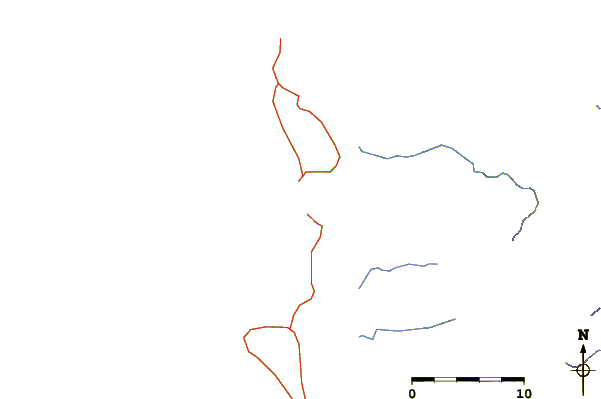
| Contours: | Roads & Rivers: | Select a
tide station / surf break / city |
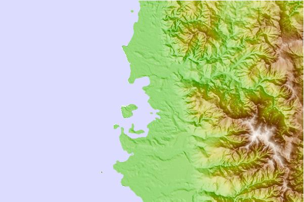
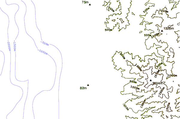
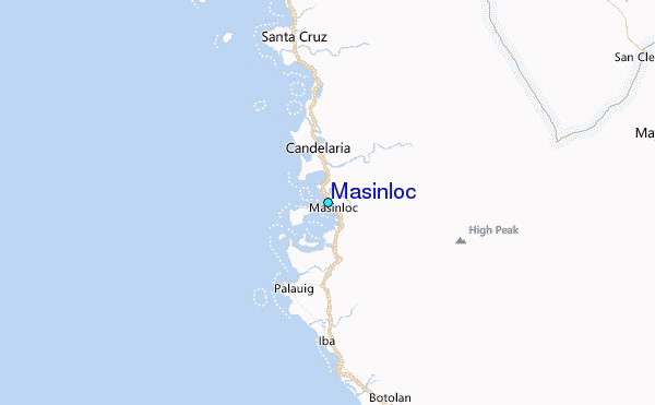
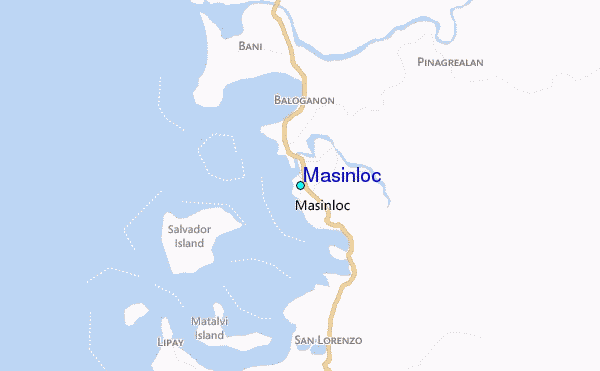
Use this relief map to navigate to tide stations, surf breaks and cities that are in the area of Masinloc.
Other Nearby Locations' tide tables and tide charts to Masinloc:
click location name for more details
 Surf breaks close to Masinloc:
|
||
|---|---|---|
| Closest surf break | Bauang | 74 mi |
| Second closest surf break | Poro Point | 77 mi |
| Third closest surf break | Car-rille | 78 mi |
| Fourth closest surf break | Mona Liza Point | 81 mi |
| Fifth closest surf break | San Juan | 81 mi |

 Nearest
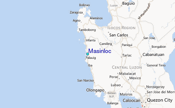